Location
In a forest north of Bad Berka, near Hexenberg (?) hill.
Participants
Plans
GeorgDerReisende: I will spend the night in a shelter near Erfurt, then I will hitchhike to Bad Berka and look for the hash. Maybe a place for satuday's meetup?
Juja: As always, this was a badly planned chaos expedition.
Expedition: Juja
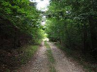
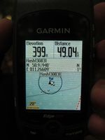
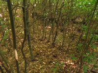
The last week at work wasn't so great, so it was really nice that there would be a Saturday Hash at a distance that would get me a bike ride of several hours to get happy again. My Ninja and I had a date in the afternoon and of course I also didn't check the wiki for other hashers' plans (assuming that Manu, Reinhard and Jens are the only active Geohashers in this area and I already knew their plans) - so I'm sorry for not getting there at official meetup time. Instead I started by bike right after breakfast together with my Ninja, we had a nice tour to Bad Berka but every bigger street was terribly full of cars (should have been no problem to find a ride for hitchhiking). So the Ninja's adventurous spirit was already used up when we left the street to go the last bit to the point, he waited with our bikes and let me climb the last bit of hill alone. Clever Ninja - what I found was a lot of beeches with thicket in between. I could get 8m near the point on something like a 'way', but then it was time for the machete again. I got back to the Ninja with scratched and bleeding legs and we cycled home - a little less relaxed because my back tyre still had problems to keep its air...
Photos: Juja
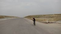
| Welcome to the desert: new freeway near Schorba.
|
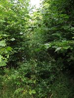
| 'Way' to the Geohash (3).
|
| Lovely view from the Geohash.
|
|
