2014-04-16 47 11
| Wed 16 Apr 2014 in 47,11: 47.2914580, 11.4657704 geohashing.info google osm bing/os kml crox |
Location
On a field near Thaur, a few kilometers from Innsbruck.
Participants
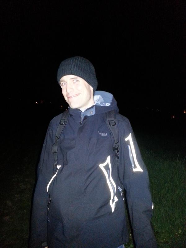
- LeslieHapablap (previous|next)
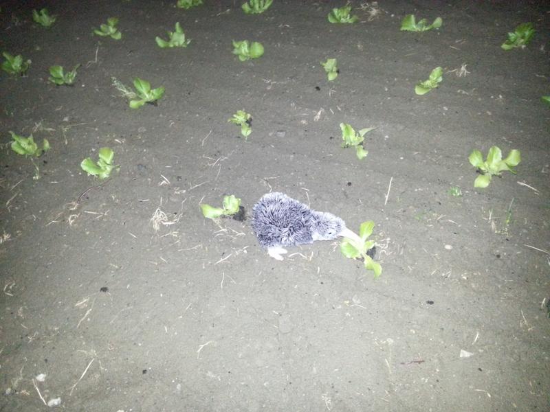
- Waltraud the hashkiwi
- 1-0
Plans
This is the first nearby AND accessible location in months. We will walk there from David's place at about 10 p.m.
Expedition
This was an easy spot at the end of a farm track. With a stretch of over four months with only far away or unreachable points, only interrupted by a guest appearance of Juja and Ninja in Innsbruck with a retrohash, it was good being out there geohashing again.
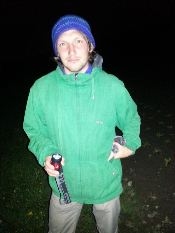
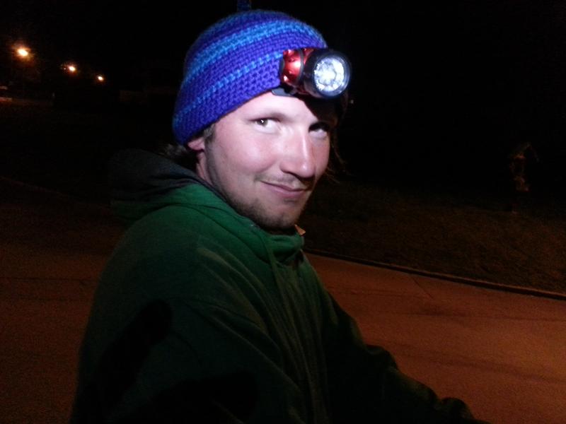
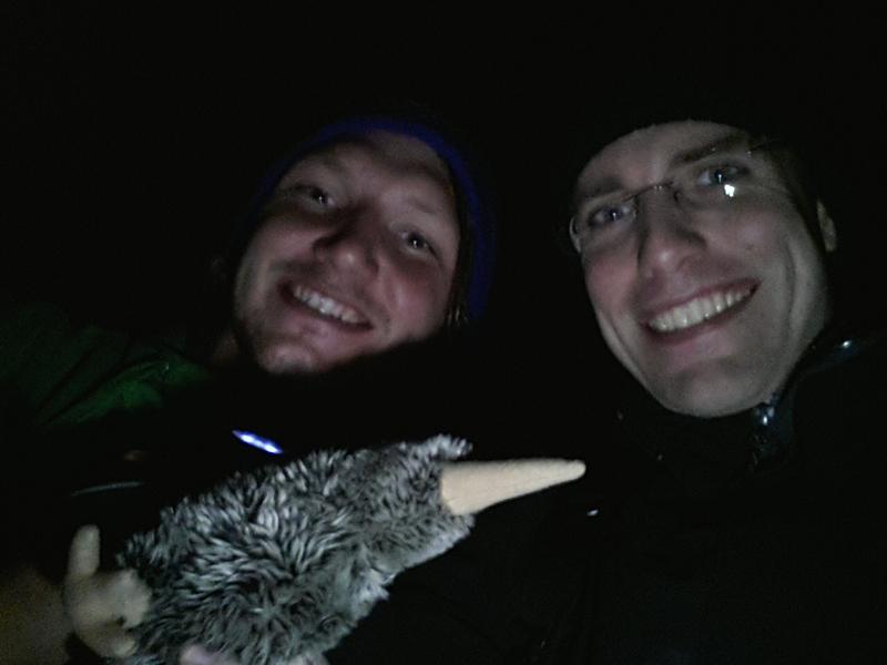
I arrived at 1-0's house at about 10 p.m., and we decided not to walk but bike (unicyle) instead, because it was already late. The expedition itself was quite uneventful. We stayed off the main roads, didn't meet anybody, took some pictures as usual and returned. No fancy achievements this time.
Pictures will follow soon.
Expedition
Photos
Achievements
LeslieHapablap and 1-0 earned the Land geohash achievement
|
LeslieHapablap earned the Bicycle geohash achievement
|
1-0 earned the Circus Geohash Achievement
|


