Location
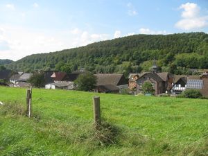
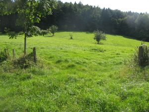
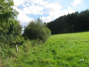
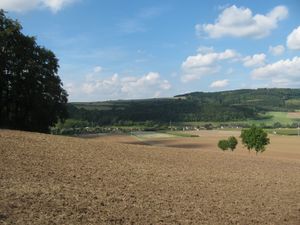
The hash lay on a meadow near Warbsen.
Participants
GeorgDerReisende
Plans
Hitchhiking and walking.
Expedition
|
|
|
![2014-08-28 51 9 GeorgDerReisende 5230.jpg](/images/thumb/1/1b/2014-08-28_51_9_GeorgDerReisende_5230.jpg/300px-2014-08-28_51_9_GeorgDerReisende_5230.jpg) |
![2014-08-28 51 9 GeorgDerReisende 5232.jpg](/images/thumb/3/3a/2014-08-28_51_9_GeorgDerReisende_5232.jpg/300px-2014-08-28_51_9_GeorgDerReisende_5232.jpg) |
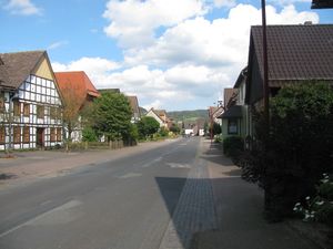
I left home at 9:45 and started to hitchhike at 10:30, I had to wait for more than one hour for the first lift. And I needed four lifts for five junctions. I left the motorway at Nörten-Hardenberg because of some misinterpreting the destination of the last driver. Instead to take the road via Einbeck I decided to take the road via Dassel. Quickly I got a car, but on the road I saw signs telling me, that the road to Dassel was closed and I decided to take the road via Holzminden. The next car brought me to the end of Bevern and the next next car brought me to Warbsen, where I arrived at 14:58. (Main street of Warbsen and Warbsen from above.)
|
![2014-08-28 51 9 GeorgDerReisende 5234.jpg](/images/thumb/4/45/2014-08-28_51_9_GeorgDerReisende_5234.jpg/300px-2014-08-28_51_9_GeorgDerReisende_5234.jpg) |
![2014-08-28 51 9 GeorgDerReisende 5249.jpg](/images/thumb/2/2c/2014-08-28_51_9_GeorgDerReisende_5249.jpg/300px-2014-08-28_51_9_GeorgDerReisende_5249.jpg) |
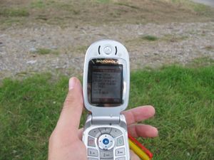
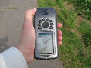
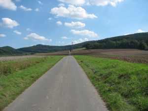
Arrived at Warbsen at first the Garmin needed an unusual long time to find the satellites. Then I found out, that I had forgotten the note with the coordinates. I tried the sms-service and with the fifth try I could send the request. But I didn't get an immediately answer, and I started to walk to the hash, maybe I could find it without the coordinates.
|
![2014-08-28 51 9 GeorgDerReisende 5250.jpg](/images/thumb/e/e1/2014-08-28_51_9_GeorgDerReisende_5250.jpg/300px-2014-08-28_51_9_GeorgDerReisende_5250.jpg) |
|
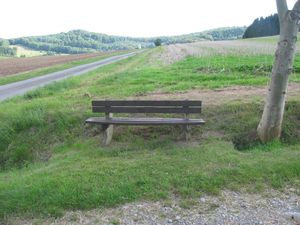
Sitting at this bench I got the coordinates.
|
![2014-08-28 51 9 GeorgDerReisende 5262.jpg](/images/thumb/1/13/2014-08-28_51_9_GeorgDerReisende_5262.jpg/300px-2014-08-28_51_9_GeorgDerReisende_5262.jpg) |
![2014-08-28 51 9 GeorgDerReisende 5252.jpg](/images/thumb/d/d5/2014-08-28_51_9_GeorgDerReisende_5252.jpg/300px-2014-08-28_51_9_GeorgDerReisende_5252.jpg) |
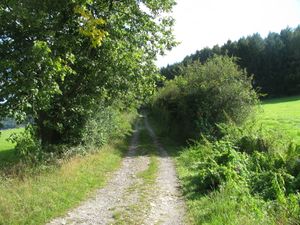
Then I walked the 100 meters uphill and found at first the field and forest way, but the coordinates were more to the right, then I walked onto the meadow. It had a fence, but no gate.
|
![2014-08-28 51 9 GeorgDerReisende 5254.jpg](/images/thumb/7/70/2014-08-28_51_9_GeorgDerReisende_5254.jpg/300px-2014-08-28_51_9_GeorgDerReisende_5254.jpg) |
![2014-08-28 51 9 GeorgDerReisende 5258.jpg](/images/thumb/5/5e/2014-08-28_51_9_GeorgDerReisende_5258.jpg/300px-2014-08-28_51_9_GeorgDerReisende_5258.jpg) |
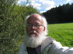
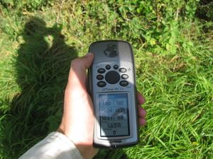
After a short dance I found the hash. And the geohasher.
|
![2014-08-28 51 9 GeorgDerReisende 5259.jpg](/images/thumb/2/2d/2014-08-28_51_9_GeorgDerReisende_5259.jpg/300px-2014-08-28_51_9_GeorgDerReisende_5259.jpg) |
![2014-08-28 51 9 GeorgDerReisende 5261.jpg](/images/thumb/4/46/2014-08-28_51_9_GeorgDerReisende_5261.jpg/300px-2014-08-28_51_9_GeorgDerReisende_5261.jpg) |
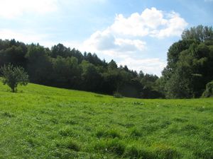
View to the west. View from the gate to the hash. I didn't take a photo from the east, there, a half meter away, was the hedge.
|
![2014-08-28 51 9 GeorgDerReisende 5263.jpg](/images/thumb/6/6f/2014-08-28_51_9_GeorgDerReisende_5263.jpg/300px-2014-08-28_51_9_GeorgDerReisende_5263.jpg) |
![2014-08-28 51 9 GeorgDerReisende 5268.jpg](/images/thumb/1/16/2014-08-28_51_9_GeorgDerReisende_5268.jpg/300px-2014-08-28_51_9_GeorgDerReisende_5268.jpg) |
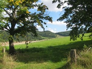
A view across the lower meadow across the valley. A view from about 50 meters lower to the south.
|
![2014-08-28 51 9 GeorgDerReisende 5277.jpg](/images/thumb/5/53/2014-08-28_51_9_GeorgDerReisende_5277.jpg/300px-2014-08-28_51_9_GeorgDerReisende_5277.jpg) |
![2014-08-28 51 9 GeorgDerReisende 5288.jpg](/images/thumb/c/c7/2014-08-28_51_9_GeorgDerReisende_5288.jpg/300px-2014-08-28_51_9_GeorgDerReisende_5288.jpg) |
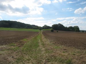
The situation from the east and the proof of dance.
|
Achievements