2015-03-05 51 9
| Thu 5 Mar 2015 in 51,9: 51.4277491, 9.3520480 geohashing.info google osm bing/os kml crox |
Location
lat.427749, lon.352048: The hash lay on the hill Wartberg between Calden and Westeruffeln.
Participants
Plans
To travel by tram and by bus to Kassel International Airport and walk to the hash.
Expedition
 |
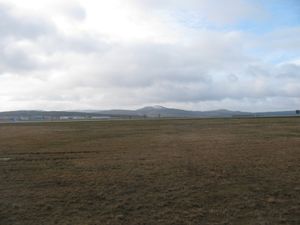 |
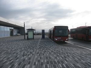
Again I travelled by bus to the Kassel International Airport and started to walk. While on my last expedition to this region, 2015-02-25 51 9, there was a lot of snow in the woods, today I saw the last snow on the mountains in the background. |
 |
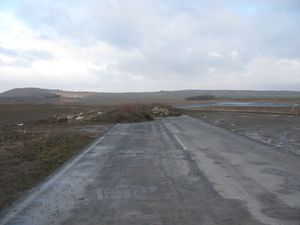 |
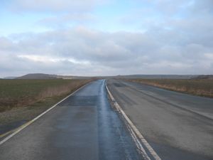
On the map I saw, that there were parts of the old national road and I tried to use these parts to reach the hash. But the road ended in nowhere. And there was only a very muddy edge of a field to continue. In the background on the left side you see the Wartberg. |
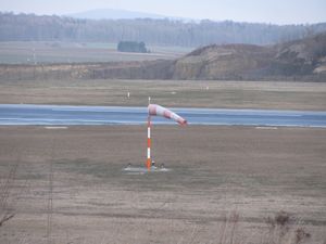 |
But I saw a lot of wind. As long as I walked outside the forest, there was a cold wind blowing. Nearly I got a cold. | |
 |
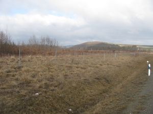 |
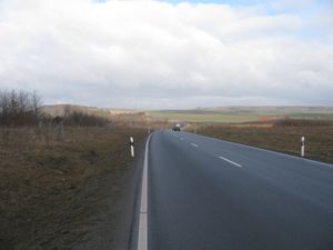
So I returned to the new national road and walked along it. I passed near 2014-04-30 51 9, the shortest distance was 48 meters. |
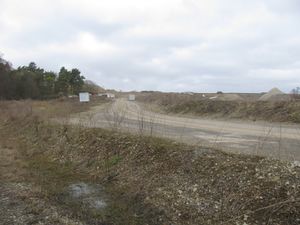 |
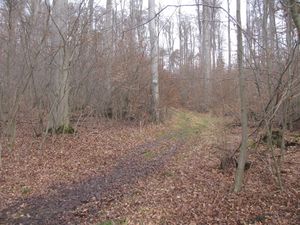
Again I could walk along the old road. There I passed the entrance to a limestone quarry. This company looked like, that it produces that gravel, which makes the muddy forest ways hard. My way led me to the side of it, so I hadn't a better view. | |
 |
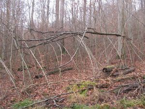 |
Then I entered the forest and there were the usual muddy ways. At first I walked along a way parallel to the national road, but just where the hash should be, there was a muddy forest way uphill. I followed it. At one place I saw this dangerous looking part of trees. And here there were only 35 meters to go, through this 'gate'. |
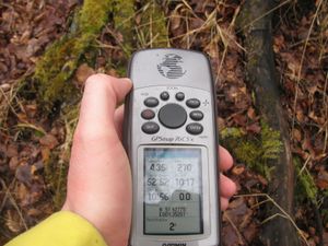 |
At this time there I walked more or less zigzag through small trees, always uphill, with some sort of muddy ground. But then I got the two meters mark. | |
 |
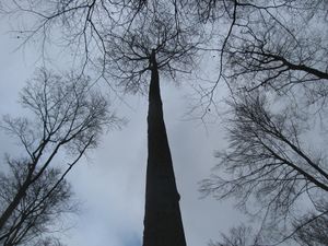 |
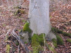
As I walked along the shown way, I decided, it could be ok to say, I reached the hash and while the gps told me, the hash is two meters away, it was this tree. But then I thought I can do this better and tried to dance around. But that was too dangerous: |
 |
 |
|
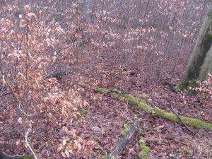
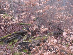
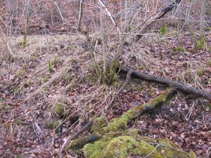
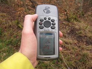
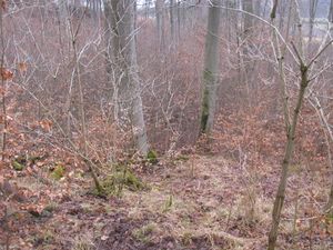
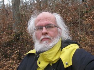
| I climbed uphill and found another forest way. From there I took those photos. The proof of my way, at one time I had passed the hash, but I don't know when and where. A view to the hash from above. The geohasher. | ||
 |
 |
|
 |
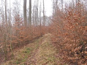 |
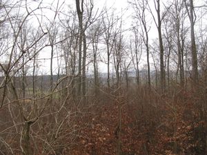
Then the usual lookaround: to the south, to the west, |
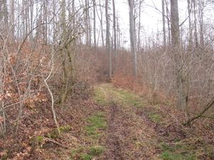 |
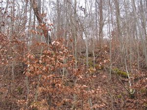 |
to the east and to the north. |
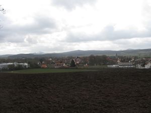 |
Afterwards I walked along this newly found forest way to Westuffeln. Sometimes it was good to walk, sometimes it was very muddy. You know these ways. | |
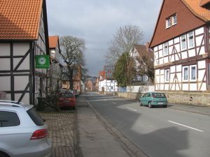 |
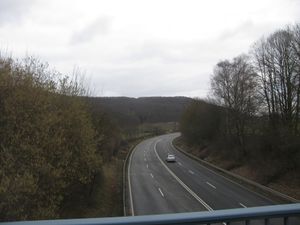 |
After a walk throung Westuffeln I travelled home, to Calden by hitchhiking, from there by bus. The photos show the old road, through Westuffeln, the Holländische Straße (road to Holland) and the new road, around Westuffeln. |
Coordinate Calculator
Just as I wrote this report I got the message from Eupeodes, that the 'coordinates from March 4 onwards on the wiki are not reliable'. So again I calculated them myself.
Sometimes the peeron map doesn't show a marker. This happened first on 2013-09-24 51 9. So I calculated it by myself. As proof I have calculated the date which is shown at The Algorithm and those of some other dates. I have used http://elmar-eigner.de/md5_maker.html for the calculating of the md5 and http://www.easysurf.cc/cnver17.htm#bf16tobf10 for the calculating of the decimal fractions. The result was:
| 2005-05-26-10458.68 | db9318c2259923d0 | 8b672cb305440f97 | lat.8577132677070023 | lon.5445430695592821 |
| 2013-09-21-15635.09 | 5fa26ea94f387b29 | b57bdcb21e5af73d | lat.3735722697594798 | lon.7089212355480007 |
| 2013-09-22-15635.09 | ba4d3c191547a4ba | 6111e4205c6ecf96 | lat.727741008876619 | lon.3791792468077191 |
| 2013-09-23-15635.09 | e5eac75c66f8bbbd | 8dda3de131d0ebab | lat.8981136894790066 | lon.5541113543311585 |
| 2013-09-24-15452.31 | be8103da25d3f6ab | 2b0da6610d3e909f | lat.7441561133944815 | lon.16817703122546335 |
Given the result to my Garmin led me to the hash. North of Brakel. Hitchhiking as usual.
I hoped I am right. And I was.
Now again:
| 2015-03-05-18203.37 | 6d80f692a072145f | 5a1fd1a849c2ddb7 | lat.42774907188181316 | lon.3520480190143291 |
Right for today.
Achievements
GeorgDerReisende earned the Land geohash achievement
|