2015-04-04 -41 174
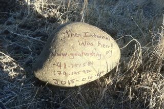
| Sat 4 Apr 2015 in -41,174: -41.7515844, 174.1959298 geohashing.info google osm bing/os kml crox |
Location
Near Lake Grassmere, Marlborough, New Zealand
Participants
The Quaternary (talk) family geohashers
Plans
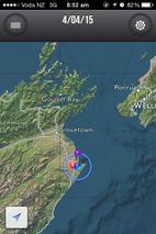
Heading up to Marlborough for the holiday weekend, what a great way to start with a hash! As this morning we discovered that there was a hash a mere 4 miles away to the east.
Expedition
Lying on private property, it was excellent to have some local knowledge as to whose land it was on. So thanks to cousin Bruce for obtaining permission to access the hash.
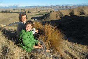
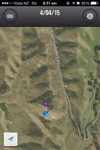
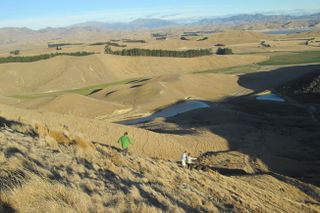
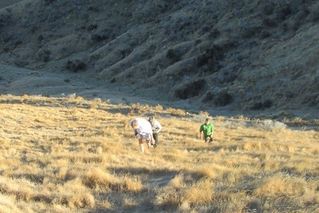
From there, it was a reasonably simple stroll to the hash, maybe 200 metres from the road. The hash itself was on the north face of a hill - while we could have walked around the hill, we decided to walk up it first (because it was there).
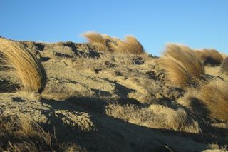
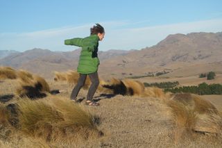
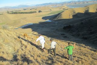
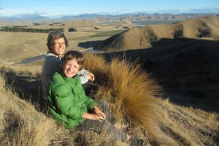
And boy was it windy at the top. In fact this is a part of the country that is very dry, hot and windy, Which makes it perfect for making ... salt.
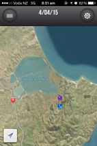
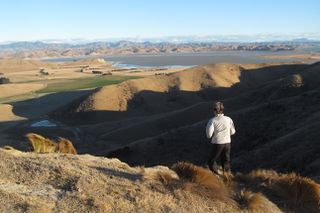
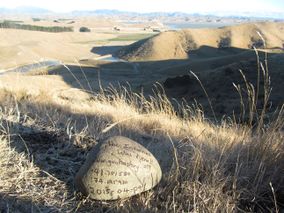
The lake in the background is Lake Grassmere, and is a shallow lagoon. Salt is produced here through solar evaporation, and production started here during World War II - chemicals for industrial processing were in short supply. Lake Grassmere now produces about half of the country's salt requirements.
Tracklog
Photos
- Photo Gallery
