Location
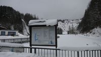
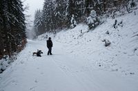
On a forest path around Schönbrunn barrage, Thuringia, Germany. This path is part of the Schönbrunn barrage roundtrip and part of the Thüringer Lutherweg (regional walking network).
South 250m at the viewpoint you get a wonderful view to the water dam. Another 750m southeast, standing on the dam, you get a very nice panorama view.
Participants
Expedition: Juja
Expedition: Haribo
Photos
Track
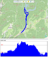
| home - bottom of dam - hash - top of dam - home, by foot 10.7km
|
|
Expedition: Manu, Reinhard and Pico
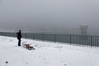
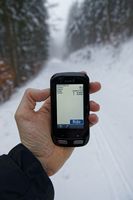
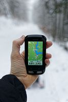
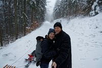
Just a 12 km drive and the chance for a quiet winter walk including some long sledding sections were reasons enough for Manu, Reinhard and Pico to get to this hashpoint. All the way there from the parking place at the bottom of the dam, they had to walk (or be carried) uphill. 200 m to the hash ski tracks were joining our way and we wondererd, whether Juja had come here before us. Obviuously she had, as we could take from the tracks ending right at the hashpoint near a large xkcd sign in the snow. We took our photos and had much fun going back down with our sleds.
Tracklog
Reinhard's Strava activity
Photos
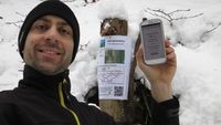
| At the hash. Notice the xkcd.
|
| Pico, Manu and Reinhard at the hash.
|
|
Achievements
