2017-07-21 51 9
| Fri 21 Jul 2017 in 51,9: 51.1378969, 9.3458514 geohashing.info google osm bing/os kml crox |
Location
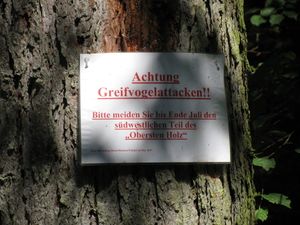
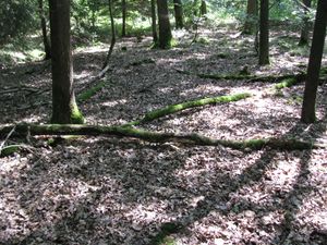
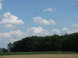
The hash of today lay in the middle of the Oberstes Holz, a small forest between Felsberg and Fritzlar.
Participants
Plans
Today was a special day for me. The Federal Ministry of Transport and Digital Infrastructure in Germany and the infas Institut für angewandte Sozialwissenschaft — institute for applied social science carry out a study Mobility in Germany. And they picked me out for reference. And today was the day of report. I shall note all my today's ways and send the result to them.
So I thought, is there something, which is a normal mode of transport for me, which I can write down into such a study. And what do I do around, specially here? Hitchhiking. So I decided for today, I have to hitchhike. And where is the best place to go for on such a day? Of course, geohashing! So for today I had two jobs: hitchhiking first, geohashing second.
Report 1
Report 2
| start time | reason | mode of transport | distance | destination | arrival time |
|---|---|---|---|---|---|
| 9:33 | shopping | on foot, tram, tram, on foot | 5.5 | Kassel, Frankfurter Straße 128 | 10:05 |
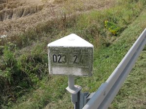
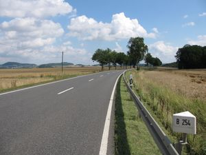
| 10:10 | journey | on foot, hitchhiking | 21.5 | national road B254, Abschnitt 023, km 2,4 | 11:12 |
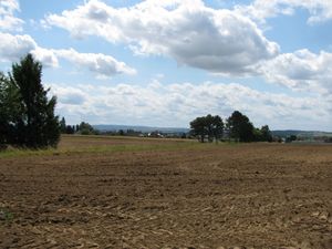
| 11:22 | hiking | on foot | 2.5 | 2017-07-21 51 9, Oberstes Holz, Cappel | 12:00 |
| 12:28 | hiking | on foot | 4.8 | Niedermöllrich | 14:18 |
| 14:18 | travelling home | hitchhiking, hitchhiking, on foot | 24.6 | Kassel, tram stop Am Weinberg | 15:10 |
| 15:10 | shopping | bus, on foot | 2.1 | Kassel, Wittrockstraße 29a | 15:25 |
| 15:45 | going home | on foot, tram, on foot | 6.2 | Kassel, tram stop Arnimstraße | 16:06 |
| 23:40 | leasure | on foot, tram | 7.2 | Kassel-Wilhelmshöhe, railway station | 0:14 |
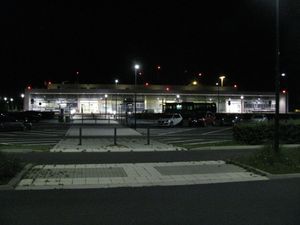
| 0:33 | leasure | bus | 19.2 | Calden, Airport Kassel | 1:12 |
| 1:35 | going home | bus, bus, on foot | 21.7 | Kassel, tram stop Arnimstraße | 2:35 |
They didn't have Niedermöllrich in their database. The database doesn't know the airport in Calden and not the Fieseler-Storch-Straße. And the day of report is not my day between rising in the morning and going to sleep sometimes later, they ask for the 24h-day. In their logo, there are neither hitchhikers nor geohashers to see. https://mid.infas-online.de/q1/media/MiD/mid_logo.png
Report 3
And not to forget:
Achievements
GeorgDerReisende earned the Thumbs Up Geohash Achievement
|
