Location
Next to the railroad track between Lehnstedt and Mellingen, Thuringia.
Participants
Expedition
Traditionally, the weekend before christmas should be used for heroic bike adventures, and maybe my heroic ambition was hushed a bit by the fact that today's Geohash point was not even 10 kms away from home (as the crow flies). Ok, better than nothing.
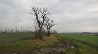
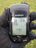
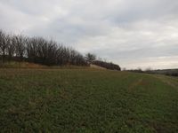
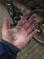
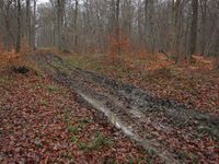
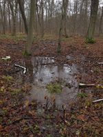
The snow had left Jena, so I started on snow-free yet very wet roads to Lehnstedt, and sometimes I even had a bit of sunshine. Because I has studied the map at home I knew the point was on the other side of the railroad track, so I took a dirt track out of the village to get there, the way soon became very swampy and I spread lots of mud on me and my bike (btw I took the one with mudguards, but still). So far, so good. Surprisingly, the point was not in the middle of a swampy field but on a comparatively dry meadow, so I walked there, took a photo and returned to my bike. All suspiciously easy by Geohashing standards.
Of course I would not go back the same way I came, so I followed the dirt track to Mellingen, getting even more mud on me and the bike. I had pondered adding the cultural detour via Weimar to my return route, but by the time I reached Mellingen my chain was so muddy and sounded so very bad that I did not trust my bike to make 50 kms today without giving me trouble, so I steered towards Magdala. I had reached Göttern when there was a small explosion from my rear wheel, so I had to stop and check what could be done. Well, nothing much, the chain was alive and well but the rear tyre was completely ripped parallel to the rim (just because it's very old and I obviously didn't care about the fact that it's very old quite enough). So all I could do was to get it back to a shape that I could push comfortably - 8 kms from home (as the crow flies), that should be a nice walk.
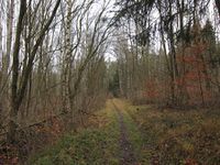
It was a lucky coincidence that I didn't wear bike shoes but actually a pair I could walk and even run in, so I followed the beeline on my GPS (at times like this a GPS can be amazingly useful) as good as possible, forded a little swamp and even found a trail I didn't know yet, about 3kms from home. Let's just say this was meant to be a combined triathlon training anyway - quite nice!
Photos
| Amazing view from the Geohash.
|
| Karl and Tux enjoying the un-muddyness of the ground.
|
| Unknown trail, 3km from home
|
|
