2018-07-17 -43 172
From Geohashing
Revision as of 00:57, 29 July 2018 by imported>Quaternary (Created page with "[[Image:{{{image|2018_07_17_-43_172_03.JPG}}}|thumb|left]] <!-- And DON'T FORGET to add your expedition and the best photo you took to the gallery on the Main Page! We'd lov...")
| Tue 17 Jul 2018 in -43,172: -43.4655215, 172.4929562 geohashing.info google osm bing/os kml crox |
Location
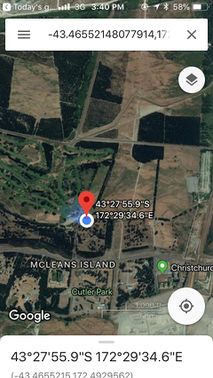
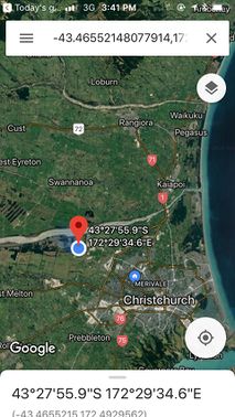
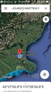
McLeans Island, Christchurch, New Zealand
Participants
The Quaternary (talk) family geohashers
Plans
A likely hash in the area known as Mcleans Island, which was an island of land surrounded by river in the days before the era of modern land-works.
Expedition
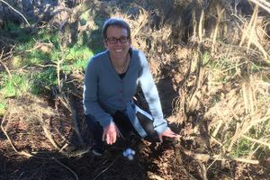
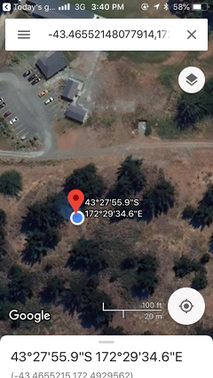
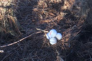
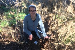
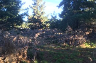
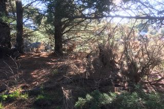
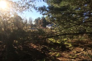
The hash point was in what looks like a previously forested area that had been milled. It was also conveniently located next to the car park of the Coringa Golf Course.
Tracklog
Photos
Achievements
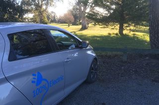
Quaternary earned the Electric Vehicle Achievement
|
