Location
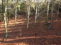
Almost on a path, well, better say "path" on Kammelberg between Schirnewitz and Altenberga, Thuringia.
Participants
- Juja, Davey, and the adventurous new ninja
Expedition
Starting the weekend, I suggested an MTB-Geohash for sunday to the adventurous ninja, and though the weather was not particularly inviting on Sunday morning we then had to go outside. The ninja is adventurous, as becomes especially apparent on Geohashing expeditions: not only the usual last few hundred meters are accompanied by some cursing, but we may start that as soon as a kilometre from home (or I can, at least), following the route the ninja selflessly prepared in advance. It must be said the little trip becomes a lot more interesting like this, but also the weather was very interesting and changed a lot between lovely springtime, rain and wind, and the tour's highlight was a little craft break which we used to fix my flat back tyre (extra fun: the spare tube in my backpack turned out to not fit). Back home after less than 40kms but zonked and thankful for coffee and cake.
Photos
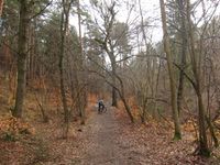
| Cycling through the forest.
|
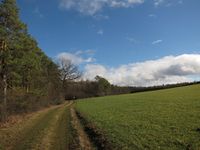
| At times it was really nice!
|
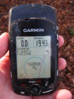
| Point reached (sorry for the blurry proof).
|
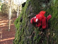
| Davey sitting at the point.
|
| Ninja sitting near the point (Geohash view).
|
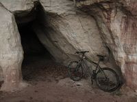
| Rothenstein cave on the way back.
|
|
