2012-04-28 50 -122
| Sat 28 Apr 2012 in 50,-122: 50.4519755, -122.2477861 geohashing.info google osm bing/os kml crox |
 Part one of Wijnlands gehash camping weekend in 50 -122 (Part 2)
Location
close to Duffey lake, between Pemberton and Lilloet
Participants
Plans
wijnland will go there for a saturday meetup at 1600. and camp over for the 20120429 50-122
Expeditions
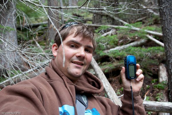
I left Vancouver around noon and on my way up I made a stopover at Kelvin grove to gaze over Howe sound upon the 2012-04-28_49_-123 geohash. After that a second quick stopover at the re-use fair (flea market) in Squamish where i did not find anything useful. Around 1600 I parked my van and to go and reach the coordinates, I had to walk about 500m back along the highway, and the coordinates were 100m upslope in the forest. The slope was not to steep and I easily made it there. I was a bit late for the saturday meetup, and there was nobody to meet... so that remains on my wishlist for now.
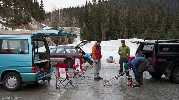
After this point I made a little reconnaissance at the trail leading to the geohash for the next day. The trail looked fine, it was well traveled by snowmobiles and thus compact snow that was well accessible by snowshoe. No access with my van though, so there would be no camping very close to the coordinates. I made my way back to a parking at Joffre lakes to set up camp. There I met some nice people who were also enjoying the outdoors and we shared a beer. Then at dusk a girl who was making her way from Powell River to lilloet and beyond arrived by bike! She set up her tent and we made some tea to keep us warm in more and more chilly night.
I slept nicely in my newly improved bed in my to wake up well rested for the geohash on the next day. (Part 2)


