Location
Rabis
Participants
Expedition
To make it clear from the start: This time Juja didn’t sent me. So it was my own idea to go there? No. This time it was Manu’s and Reinhard’s part to send a modest note on the day before to make me aware of today’s point. Does the phrase “You HAVE to go.” still count as “modest”? I’m not quite sure, but I think so, because only the word “have” was written in capital letters. And they had a good reason to be emphatic about it, because the point was located in “Rabis”. And that indeed is a must have for Räbe. The last time it happened was on Jan. 26, 1948.
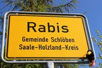
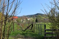
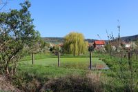
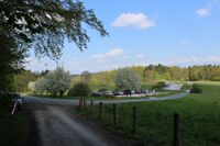
We started just after breakfast to Lobeda, climbed up the hill at Drakendorf and stopped at the place-name sign of “Rabis” where we took the first photo of the expedition showing Räbe sitting in the Rabis-sign. To my surprise there was no farmer on the field as I prophesied Manu and Reinhard. There was no one around to annoy me, perfect. So the only thing between me at the sign and the point were tons of wet grass. After a 200 meter walk I arrived at the creek beside the meadow. Happily the point has landed on the good side of the creek, the one with the wet grass and not on the bad side that was jam-packed with fences saying: “private property”.
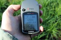
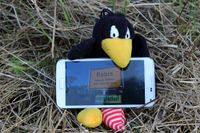
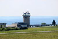
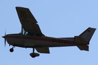
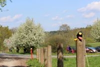
So finally it’s done. Räbe reached “his” point and posed once again for a photo showing him at the point. Unwarrantably I got the wet shoes and he got the fame, but that’s life. On our way back home we took a little detour to have a short look at the airport of Schöngleina. But most of the pilots were still sleeping. So on to Steinkreuz for the last photo shooting an then down the hill, whoosh …
Photos
| Räbe and the place-name sign of Rabis
|
| The good side of the creek
|
| The bad side of the creek
|
| The light green rectangles you can see on google earth
|
| The airport tower of Schöngleina
|
| The only pilot already awake
|
| Räbe at Steinkreuz (still spring)
|
|
