2023-10-20 48 8
| Fri 20 Oct 2023 in 48,8: 48.0359762, 8.5816450 geohashing.info google osm bing/os kml crox |
Location
On a meadow east of Bad Dürrheim
Participants
- Monotof
- Lacreo
Expedition
To the hashpoint
The weather was still miserable like yesterday, but the hashpoint was only ~22km away and conveniently close to Bad Dürrheim which we wanted to visit today anyway.
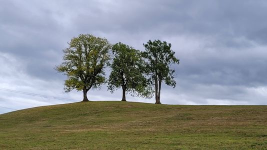
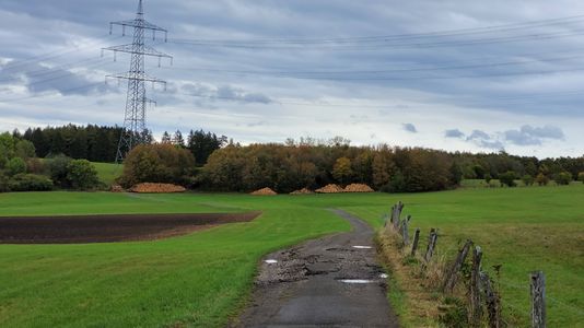
We drove to the hashpoint until cars were not allowed on the path anymore and found a parking spot at the local cemetery. A new experience (at least for Monotof) was having to look for a parking spot near the hashpoint, since most expeditions so far were done by bike. While on our way to the hashpoint we saw a very picturesque hill with three trees on top, but unfortunately the hashpoint was not on top of it but in a meadow behind it.
At the hashpoint
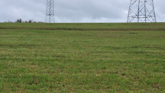
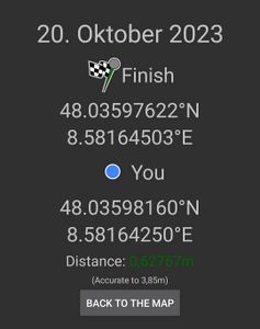
The hashpoint was not too far from the path, slightly uphill in a grassy meadow. Fortunately the barbed wire fence around the previous field had ended so we did not have to climb it. Also the grass had somewhat recently been cut, so our our shoes did not get very wet. Upon reaching the hashpoint we took the prerequisite pictures and due to the bad weather immediately made our way back to the car. With good weather it would have been a prime location for a hashpoint picnic.
Photos
Achievements
Lacreo earned the Consecutive geohash achievement
|
