2023-12-18 52 7
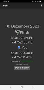
| Mon 18 Dec 2023 in 52,7: 52.0109859, 7.4752137 geohashing.info google osm bing/os kml crox |
Location
This Geohash is located on a the edge of a field in Altenberge.
Participants
Expedition
In the prevening, I cycled to Osnabrück Central, took the train via Münster to Altenberge, and cycled the rest of the distance.
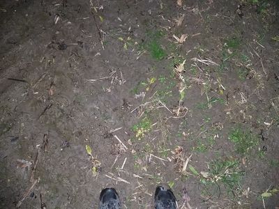
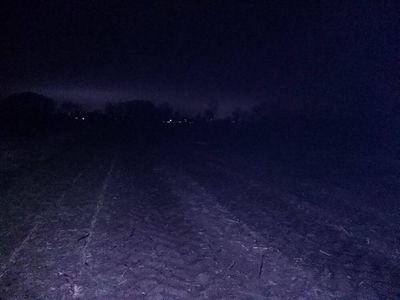
The coordinates were on the edge of a field, on the far end relative to the road, next to a stream forming the field's boundary. To get to the stream, I walked between the field and another, adjacent one, both harvested corn fields. Then I followed the stream until I reached the coordinates, locating them a few meters into the field.
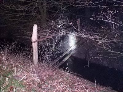
After recording proof, I continued circumventing the field counter-clockwise, following the stream. I saw a makeshift bridge, but did not cross it. When I got back to my bike, I cycled to Münster, took the train to Osnabrück Central and cycled back home.
Photos
Tracklog
Ribbons
Fippe earned the Land geohash achievement
|
Fippe earned the Regional geohashing achievement
|


