2024-02-03 -37 144
| Sat 3 Feb 2024 in -37,144: -37.8656057, 144.8825541 geohashing.info google osm bing/os kml crox |
Location
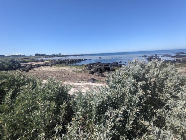
Just off the beach in Jawborne Flora and Fauna Reserve, Williamstown, a southwestern suburb of Melbourne.
Participants
- Expedition 1
- Expedition 2
- Expedition 3
- Expedition 4
- John
- Bridget
- Expedition 5
Plans
Expedition
Expedition 1 (Steve)
The forecast looked hot. Real hot. Steve-meltingly hot. Eye-blindly, skin-burningly, throat-parchingly hot. At this moment, in bed, things felt ok, but it was going to get nasty. If I was going to do this geohash, it was now or never.
So I snoozed in bed for another 20 minutes, then reluctantly got up. I suddenly realised something awful. The second part of the giant stuffed zucchini I had cooked the previous night had never been put away. It was still waiting, forlorn, forgotten, in the oven, which I fortunately I had remembered to turn off.
I stuffed the stuffed zucchini into a fridge container to deal with later, and made a half-hearted attempt at packing for a possible beach day. KT said she was going to try to get there as well, presumably by car. Maybe we'd get a swim together. I set off.
So far, the air temperature is still pleasant. This is at least my fourth geohash in the Williamstown area in the past year or two, so I'm pretty familiar with the route. But now, the horrendously unpleasant Footscray Road bike path is closed, forcing me to find a more pleasant option.
The bike paths are all very crowded, so I'm going slower than expected. Everyone is obviously getting their daily exercise out of the way before the heat wave rolls in.
Up over a hill in Kensington we go, then Dynon Road. It's so much better than the other route!
Near Newport the path diverges from the road to follow the river, and it's just a glorious time. Sunny but not too hot, calm, peaceful. Everyone out and about seems to be enjoying life, especially the oddly brown coloured golden retriever chasing a ball.
As usual, I'm a bit thrown by the peculiar parallelogram-based street grid in Williamstown. I don't try to understand it, but I do enjoy some shady streets with interesting gardens. There's a gorgeous pandorea in full bloom running riot across the facade of an elegant townhouse.
John has warned that the point might require a bush-bash, so as soon as I spot some bushes near the point, I start charging in. But then I look closer at my screen, see that I'm still 50m away, and there's a nice easy path to follow. It's a bit embarrassing to have to un-bush-bash, but no one notices, not even the walker having a very intense discussion about some delicate HR matters on her phone nearby.
A few moments later, having found the right path, I'm apologising to the saltbush crushed underfoot and planting my imaginary flag as the first of a long line of geohashing conquerors for the day.
KT lets me know she was delayed waiting for a ferry and I belatedly realise she's also on bike.
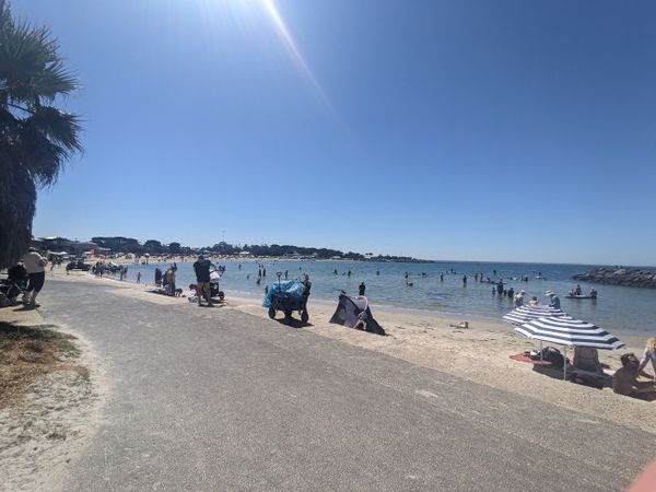
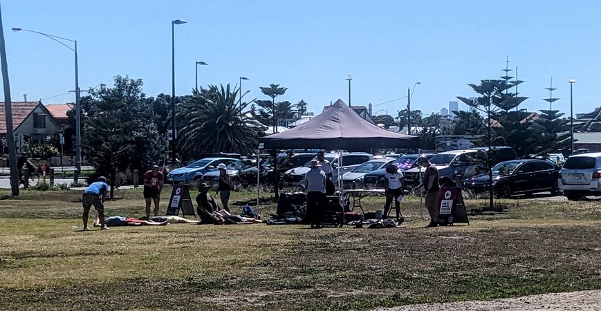
It's a bit too sunny to wait here, and I don't want to disturb a solo paddleboarder nearby, so I wander off to explore the local sights. I discover a first-aid course firing up, with participants flat out pretending to be in need of rescuscitation. I see snorkellers, many equipped with floating high-vis beacons that scream "please don't kill me, jetskiers, also fuck off". I see spearfishers bragging about their day's catches. I see scuba divers emerging from the water and discussing technique. And I hundreds and hundreds of people enjoying a perfect beach day, sunbaking, swimming, lounging in or next to their beach umbrellas, tents and cabanas.
Soon, I am one of them, as KT arrives and we have a most delightful dip, a copious brunch and finally a very lovely ride home. Somehow the temperature never quite gets to scorching, contenting itself with "rather warm", and it's all just a really splendid day out at the beach. Thanks, geohashing gods.
Expedition 2 (KT)
“Tomorrow, it’s going to be hot. Like, over 30 degrees hot. I reckon I’ll hit up a beach somewhere for a swim.” I had declared this intention the day before.
“I’m not going to a beach. I hate the beach. And fun,” Steve had said, stevefully.
The next morning I woke up and looked at the day’s geohash. It was right next to a beach. Hehehehe.
I messaged Steve to see if he was going. He was. Hehehehehehe. Sometimes it’s nice to feel a little bit smug. Our schedules were aligned, so we planned to say hi at the hashpoint.
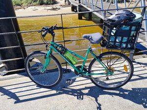
I was keen to cycle there. Mostly because I’d never actually cycled to a geohash before. But bikes seem to be The Thing in the geohashing community and I’m desperate to fit in, so I saddled up my old faithful and rattled out towards the wilds of Williamstown.
Here’s a brief history of my bicycle: I won it in a dress-up competition when I was ten. It was a piece of shit even back then and twenty-six years later it has only depreciated. The gears don’t work properly, the brakes don’t work properly, it’s a fair bit rusted and it makes alarming clunking noises when I pedal. But I commute with it most days and felt confident-ish that it would see me through the hour’s journey to Williamstown.
It was a beautiful ride. I kept thinking ‘oh this is so nice, I should stop and take a photo’ but I didn’t. Now I live to regret, because I’m writing about it and words don’t do it justice.
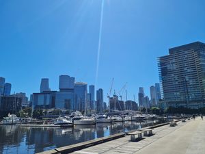
Anyway, it was gorgeously sunny as I cycled my way along the Yarra, weaving through the pedestrians of Southbank and admiring the pristine Docklands views. Then it was on to the gritty industrial landscapes of Fisherman’s Bend until I reached my next mode of transport – the Westgate ferry!
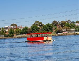
Until this geohash, I had no idea Westgate had a ferry. So that’s a cool thing I learned. It’s a little private boat that runs from Westgate Landing to Spotswood. You can take bikes on it, and it’s five dollary-doos.
It was leaving just as I pulled up to the dock, so my bike and I had to wait. But soon enough it was back and we were jetting across to the other side.
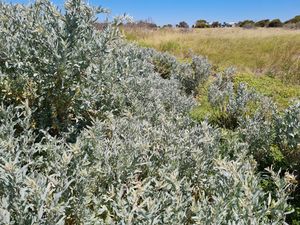
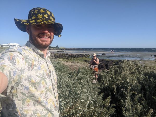
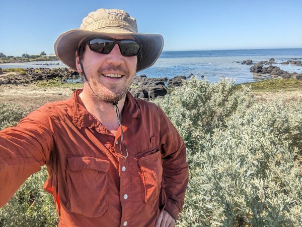
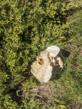
From Spotswood, it was a cute little cycle journey along the water’s edge until I reached the turn off to the hashpoint. I secured the bike and headed on foot along the rocky shore. The actual hashpoint was in some salt scrub, which I awkwardly stood in and took a selfie. And then took an awkward photo of the unimpressive salt scrub.
Success! My first geohash of the year, and my first ever via bicycle. I hope this means I’m in the club.
I met up with Steve at Williamstown beach proper and prepared for my long-anticipated swim. I had pre-worn my bathers, and had packed a towel, and a plastic bag for my wet things afterwards. Steve reneged his previous stance on fun and decided to come for a swim, too. Hooray! I was slightly horrified when he jumped into the water in all his clothes, but apparently this is normal for him.
It was so lovely in the water. Even Steve agreed that sometimes the beach is a nice place, and that it was currently being a nice place. So big wins all around.
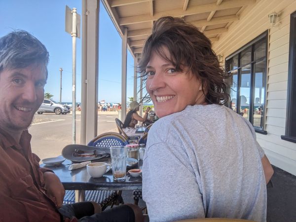
Then we went to a cafe and patted three dogs. We had a good giggle at the antics of an adult daughter trying to stop her mum feeding their overweight dog some ice cream.
All in all, a day of resounding wins and great company.
Expedition 3 (BarbaraTables)
To get there, I took Bus Route 691 to Stud Park, Bus Route 901 to Dandenong Station, the train to Flinders Street Station, another train to Southern Cross Station, and finally took the Williamstown train to North Williamstown. The Geohash was a short walk from there.
Once again, an easy one requiring more patience than effort. The best part of the journey was easily the destination - the Marine Sanctuary the Geohash was located in had some lovely gardens full of ponds, birds, and butterflies.
I had to sorta stand in a beach shrub to get the point dead-on. After that was done, I got some ice cream :)
Expedition 4 (John / Bridget)
Expedition 5 (Lachie, Laura, Pcw)
Tracklog
Photos
Achievements
BarbaraTables earned the Land geohash achievement
|
BarbaraTables earned the Public transport geohash achievement
|
BarbaraTables earned the Two to the N achievement
|
