2019-02-28 -70 -8
| Thu 28 Feb 2019 in -70,-8: -70.7122242, -8.3138187 geohashing.info google osm bing/os kml crox |
Location
This Geohash is located 5.3 km south of Neumayer III.
Participants
- The meteorologist
- The radio operator
About
The meteorologist is DLichti's friend, mentionend in 2022-02-26 52 9. Usually a Ninja Geohasher, he made an exception for this expedition and provided the details and photos to Fippe.
Expedition
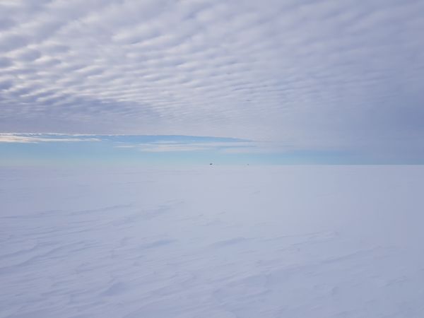
The two of us left the Neumayer station in the direction of Geohash. My colleague, the radio operator at the station, ran (to be precise: jogged) and I cross-country skied to the Geohash. Of course in a nice straight line. There are no roads to the south and no obstacles to overcome or circumvent.
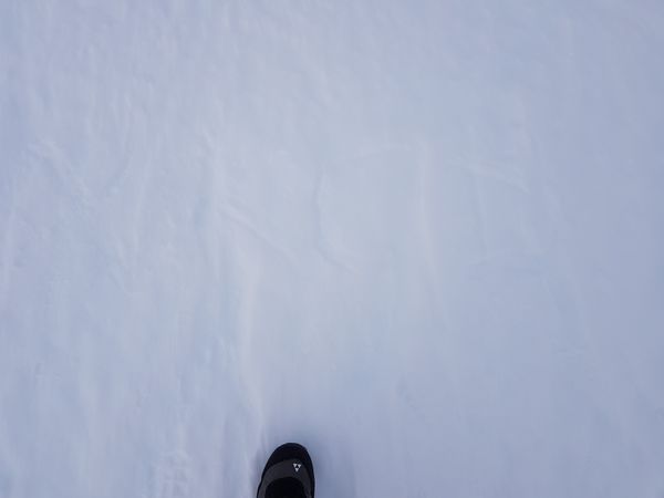
At the Geohash, I wrote XKCD in the snow (see picture, unfortunately you can't see it very well, because of the heavy cloud cover the contrasts were bad). We didn't meet any other people. It was already after 16 o'clock when we arrived at Geohash, we must have been too late.
Photos
Ribbons
The meteorologist and the radio operator earned the Frozen Geohash Achievement
|
The meteorologist and the radio operator earned the Juggernaut achievement
|
The meteorologist and the radio operator earned the Graticule Unlocked Achievement
|

