2024-01-08 52 8
| Mon 8 Jan 2024 in 52,8: 52.1606778, 8.0216668 geohashing.info google osm bing/os kml crox |
Location
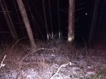
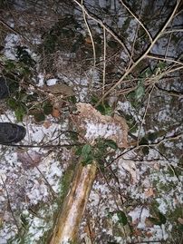
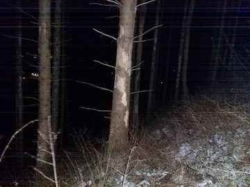
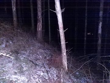
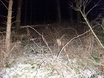
This Geohash is located in a forest on a hillside in Holperdorp.
Participants
Expedition
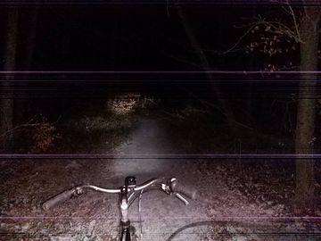
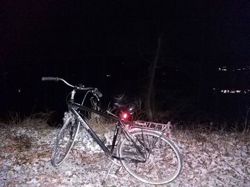
In the prevening, I cycled to Holperdorp via Sutthausen and Altenhagen. My bike has been in better shape, and I think I broke the gear shift on this ride, leading to me having to push it more often than usual.
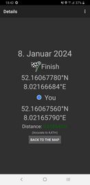
The coordinates were in the Teutoburg Forest - I approached from the south, taking a path uphill leading to the state border. The last meters were on a steep slope, which I descended on foot.
After locating the coordinates and recording proof, I ascended the slope to my bike and cycled via Bad Iburg and Oesede back home to Osnabrück.
Being the lucky coordinates I wished for at 2023-10-23 51 7, today's expedition completes my regional geohashing achievement for the Steinfurt district.
Photos
Tracklog
Ribbons
Fippe earned the Land geohash achievement
|
Fippe earned the Last man standing achievement
|
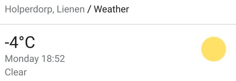
Fippe earned the Frozen Geohash Achievement
|
Fippe earned the Bicycle geohash achievement
|
Fippe earned the Tron achievement
|
Fippe earned the Regional geohashing achievement
|
- Meetup on 2024-01-08
- Meetup in 52 8
- Expeditions with tracklogs
- Land geohash achievement
- Last man standing achievement
- Frozen geohash achievement
- Bicycle geohash achievement
- Tron achievement
- Regional geohashing achievement
- Expeditions
- Coordinates reached
- Expeditions with photos
- Meetup in Kreis Steinfurt
- Expeditions by Fippe
- Fippe's expeditions by bike
