2024-07-05 52 -0
| Fri 5 Jul 2024 in 52,-0: 52.0805176, -0.8572925 geohashing.info google osm bing/os kml crox |
Location
A lane leading to a farm near Cosgrove, on the outskirts of Milton Keynes
Participants
Expedition
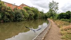
I left home at 12:10, and soon joined the Grand Union canal, which I would follow for a decent chunk of my journey. This canal was built at the end of the 18th century, at the time called the Grand Junction canal, as a more convenient alternative to the Oxford canal to connect London to places further North. I followed it Northwards, appreciating the wildlife that has moved in since its construction.
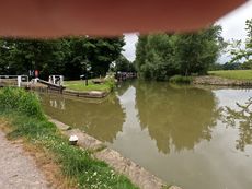
Continuing along the canal, I reached the Iron Trunk aqueduct, which crosses over the Great Ouse. Initially the canal had 9 locks allowing canal traffic to cross the river at the level, but locks are slow and lose water. This is the second aqueduct build at the site, after the first collapsed in 1808.
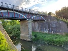 The Iron Trunk |
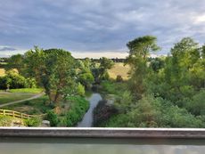 View from the aqueduct |
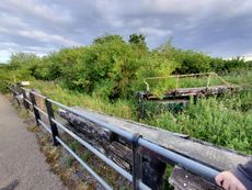 One of the original locks |
| (These photos were taken from a previous visit to the area, coincidentally exactly a year prior) | ||
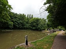
A little further along, I reached Cosgrove lock, the only one of the original 9 that is still in use. Just before the lock is a winding hole, where boats can turn or "wind" (pronounced like the blowy weather stuff).
Immediately after the lock is a junction, where the Buckingham arm once joined the canal. It currently only goes a short distance, but the Buckingham Canal Society is working to restore it.
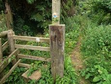
I eventually left the canal, crossing under it through the "horse tunnel" and travelled along a section of the Grafton Way. This is a long distance footpath seemingly not very well maintained in places, including a short section where there is not any gap between the undergrowth (including nettles) on each side, but I made it through unscathed.
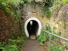 The horse tunnel |
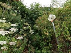 What footpath? |
Finally I crossed a road before walking a short distance up a farmer's lane to reach the hash.
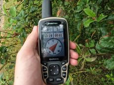 Made it! |
 Silly grin |
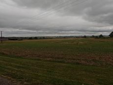 View from the hash |
I took the same route for the return journey, just with one significant difference when I reached a cow field. On the outbound journey, the cows had been at the opposite end of the field, and started moving towards me as I passed by. When I returned, they were much closer, and quickly crowded around me. I was walking along an edge of the field, surrounded by a solid semicircle of cow. As I moved slowly, the cows ahead of me stepped backwards, while the ones behind followed. Occasionally, one cow got too close, and my instinctual reaction to jerk away cause the cows to take a few steps back, before quickly reconvening on me. About 2/3 of the way along the field, they got bored of me and wandered off.
The rest of the journey was pretty much uneventful, although I did cross over a style I had completely failed to notice on the way out. I reached home at around 2:30.
Tracklog
Achievements
PeterRoder earned the Two to the N achievement
|
