2014-05-25 51 9
From Geohashing
| Sun 25 May 2014 in 51,9: 51.2995598, 9.0462197 geohashing.info google osm bing/os kml crox |
Location
The hash lay in a forest north of Freienhagen.
Participants
Plans
After electing I wanted to hitchhike to Dehringhausen and to walk from there into the forest.
Expedition
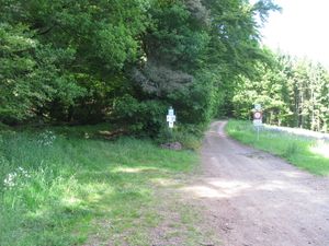 |
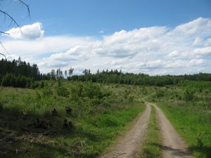
After my voting for the European Parliament I started to travel for the hash. I waited at the Wilhelmshöhe junction for nearly 30 minutes and near the Zierenberg junction another 30 minutes. I arrived at Freienhagen at 14:45. There I walked into the road to Dehringhausen. Some cars passed, but no car stopped for a lift. I walked along the road and reached the forest. There I noticed that the walk to Dehringhausen and from there to the hash was three kilometers long, but I was only one kilometer away from the hash, so I entered the forest. I wanted to take the Old Arolser Road. I choosed the right one, but at the end I found out, that the Old Arolser Road was the left one. | |
 |
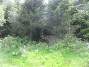 |
Arriving at the forest. 90 meters to the hash. |
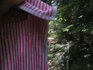 |
I used my towel as a shield against the branches of the trees. | |
 |
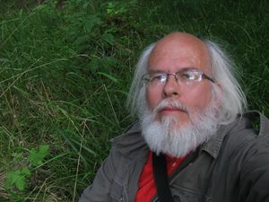 |
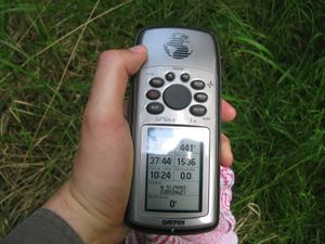
After a dance under the trees I found the hash. |
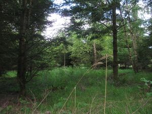 south south |
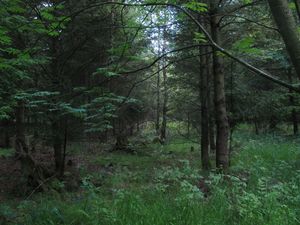 west west |
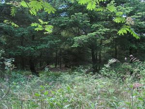 north north
|
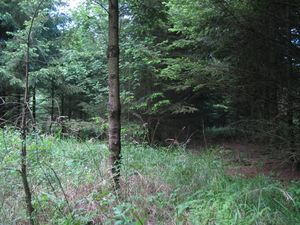 east east |
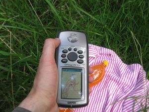 proof of the dance proof of the dance |
|
 |
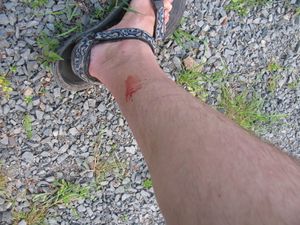 |
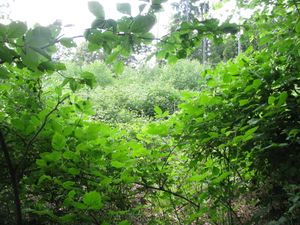
After a short stay I walked further to the other forest way. There was a thicket between me and the forest way. I passed it, but I got hurt. There were geohasher eating plants in the thicket. |
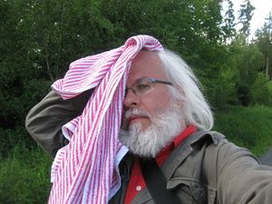 |
Sorry, I don't have photos of the fight. I could either fight against the geohasher eating plants or you could get photos of geohasher eating plants eating a geohasher. | |
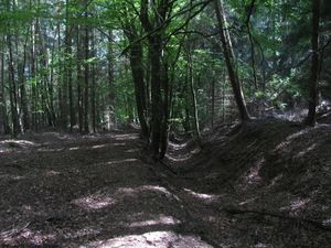 |
This is the Old Arolser Road, which I found at last. Then I walked back to Freienhagen and then I hitchhiked home. |
Achievements
GeorgDerReisende earned the Towel Day achievement
|