Difference between revisions of "2008-05-26 -33 150"
From Geohashing
imported>ReletBot m (Failed => Not reached) |
m (fix, sorry) |
||
| (3 intermediate revisions by 2 users not shown) | |||
| Line 6: | Line 6: | ||
}} | }} | ||
| − | This location is at -33.673129°, 150.607308° and can be viewed | + | This location is at -33.673129°, 150.607308° and can be viewed {{egl|2008-05-26|-34|150|text=here}}. |
A tree in the backyard of a house in Winmalee, near Penrith. There's a park nearby. | A tree in the backyard of a house in Winmalee, near Penrith. There's a park nearby. | ||
| Line 22: | Line 22: | ||
[[Category:Coordinates not reached]] | [[Category:Coordinates not reached]] | ||
[[Category:Not reached - No public access]] | [[Category:Not reached - No public access]] | ||
| + | {{location|AU|NSW|BM}} | ||
Latest revision as of 18:45, 18 January 2022
| Mon 26 May 2008 in -33,150: -33.6731281, 150.6073080 geohashing.info google osm bing/os kml crox |
This location is at -33.673129°, 150.607308° and can be viewed here.
A tree in the backyard of a house in Winmalee, near Penrith. There's a park nearby.
People
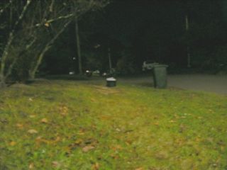
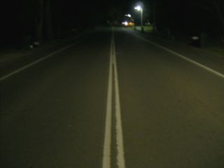
- Chidget - Got home from uni late to find that the day's Geohash was actually quite close to my house! It was already 10pm, so I tooled up, and checked out the area on the map. Unfortunately the exact location was somone's backyard. Furthermore, they backed onto nothing but more houses. So weird night time street photos will have to suffice. Obviously I have no idea if anyone else went, but I had fun. N.B Photo/s enhanced for clarity... What can I say - night time photography doesn't work.


