Difference between revisions of "2008-06-06 42 -71"
imported>Thomcat m (Boston rename) |
imported>Thomcat (Success/failure category added) |
||
| Line 5: | Line 5: | ||
| date=2008-06-06 | | date=2008-06-06 | ||
}} | }} | ||
| + | |||
==About== | ==About== | ||
[http://maps.google.com/maps?q=42.759663N%2C%2071.825383W 42.759663N, 71.825383W] | [http://maps.google.com/maps?q=42.759663N%2C%2071.825383W 42.759663N, 71.825383W] | ||
| + | |||
This hash is located in New Ipswich, NH near the Greenville border in the [[Boston, Massachusetts]] graticule across the Souhegan River from Rte 123. | This hash is located in New Ipswich, NH near the Greenville border in the [[Boston, Massachusetts]] graticule across the Souhegan River from Rte 123. | ||
| + | |||
{{land geohash | {{land geohash | ||
| Line 28: | Line 31: | ||
==Expeditions== | ==Expeditions== | ||
| + | |||
===[[User:Ahecht|AHecht]] 1:15pm EDT=== | ===[[User:Ahecht|AHecht]] 1:15pm EDT=== | ||
| + | |||
See story in gallery below. | See story in gallery below. | ||
| + | |||
<gallery caption="GeoSquishing" widths="200px" heights="200px" perrow="3"> | <gallery caption="GeoSquishing" widths="200px" heights="200px" perrow="3"> | ||
| Line 52: | Line 58: | ||
</gallery> | </gallery> | ||
| − | [[Category: | + | [[Category:Expeditions]] |
| − | [[Category: | + | [[Category:Expeditions with photos]] |
| + | [[Category:Coordinates reached]] | ||
Revision as of 15:17, 7 August 2008
| Fri 6 Jun 2008 in 42,-71: 42.7596630, -71.8253824 geohashing.info google osm bing/os kml crox |
About
This hash is located in New Ipswich, NH near the Greenville border in the Boston, Massachusetts graticule across the Souhegan River from Rte 123.
AHecht earned the Land geohash achievement
|
Expeditions
AHecht 1:15pm EDT
See story in gallery below.
- GeoSquishing
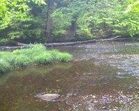
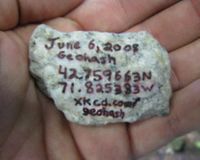
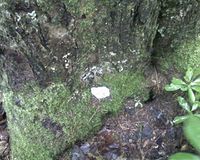
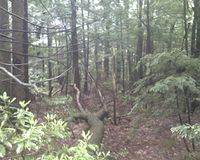
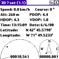
These coordinates are 15 minutes from my office. I didn't find out the coordinates until I was already at work, so I had to make due with what I had with me. I didn't have a camera or separate GPS, so I had to use my phone as a camera and GPS unit (using a bluetooth GPS radio). I put on my emergency rain pants and waterproof boots from my car and headed out. The easiest access to the cache was through a backyard that was nicely mowed all the way to the river. However, not wanting to tresspass, I bushwacked my way down to the banks of the Souhegan.
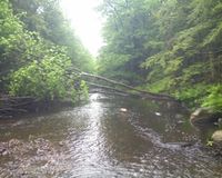
After getting to the river, this is what I was faced with. I was able to get half-way across without any trouble, but the water was too deep to get across the second half dry. After walking up and down the shore, trying to find a better crossing, I decided to go for it and wade in. My waterproof boots quickly became filled with water, and of course the water wouldn't drain out.

