Difference between revisions of "2009-06-08 -34 150"
m (Replacing Peeron with Geohashing.info) |
m (fix, sorry) |
||
| Line 11: | Line 11: | ||
-34.382577°, 150.911385° | -34.382577°, 150.911385° | ||
| − | Map Reference: {{egl|2009-06-08|-35 | + | Map Reference: {{egl|2009-06-08|-35|150|text=Official tool}} |
[http://maps.google.com/maps?f=q&source=s_q&hl=en&geocode=&q=-34.382577,+%2B150.911385&sll=37.0625,-95.677068&sspn=39.592876,93.164063&ie=UTF8&ll=-34.382581,150.911379&spn=0.010094,0.022745&t=h&z=16&iwloc=A Location in Google Maps] | [http://maps.google.com/maps?f=q&source=s_q&hl=en&geocode=&q=-34.382577,+%2B150.911385&sll=37.0625,-95.677068&sspn=39.592876,93.164063&ie=UTF8&ll=-34.382581,150.911379&spn=0.010094,0.022745&t=h&z=16&iwloc=A Location in Google Maps] | ||
Latest revision as of 18:58, 18 January 2022
| Mon 8 Jun 2009 in -34,150: -34.3825761, 150.9113854 geohashing.info google osm bing/os kml crox |
This hash falls at the Fernhill Soccer Club's junior fields, just off Moray Rd in the suburb "Towradgi"
It is located within the Wollongong graticule
-34.382577°, 150.911385°
Map Reference: Official tool
Achievement
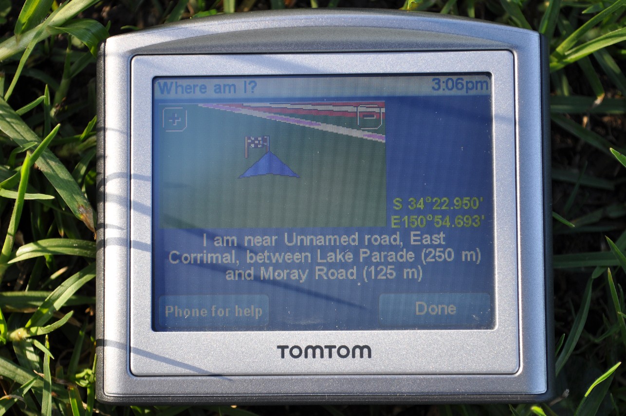
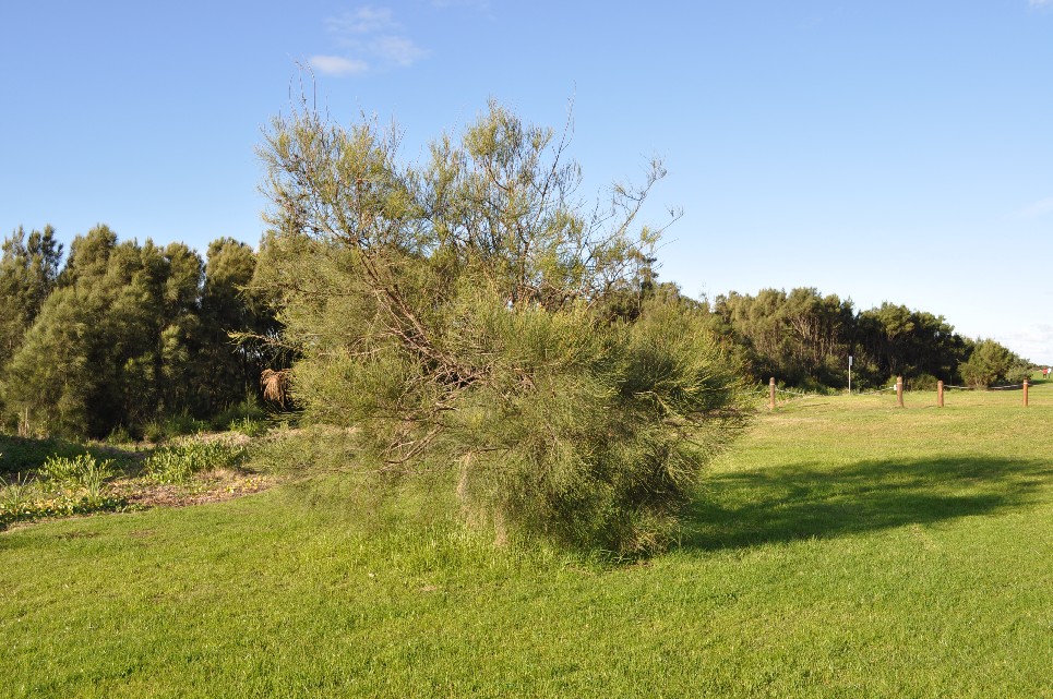
We reached this hash at around 3:00pm. We quickly found the actual spot of the hash, which was very close to a small tree. This hash turned out to be at my son's soccer field, and we used to live very close by @ 33 Lake Pde (literally just over the creek)
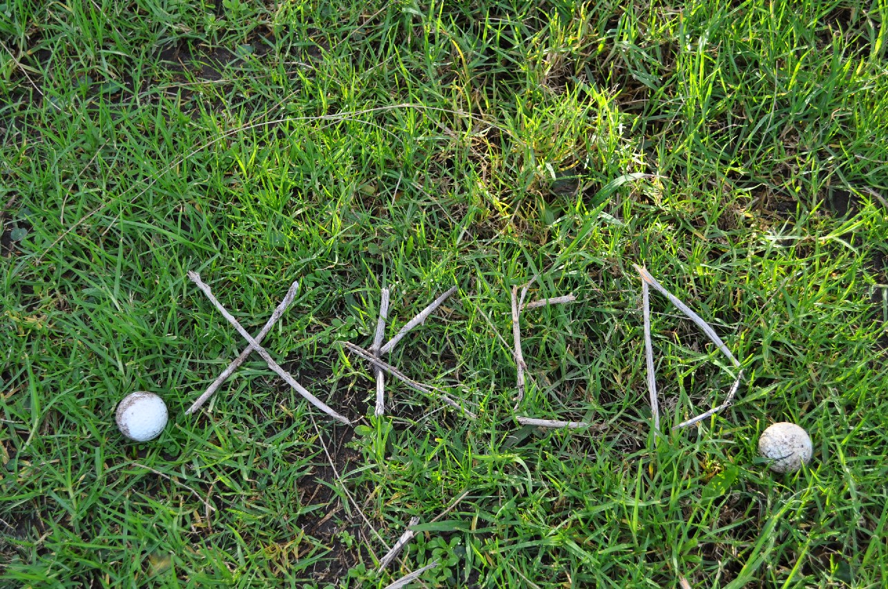
We waited for about twenty minutes, but no other geohashers turned up. We found two golf balls under the tree, and left a XKCD sign made from sticks just in case someone else passed by.
There were quite a lot of people around. It was a nice afternoon, and many people were passing through with children or dogs heading toward the beach.
Mrchips0 18:20, 08 June 2009 (UTC)


