Difference between revisions of "2011-04-06 48 11"
imported>Ekorren (→Gallery: Some of my pictures) |
imported>FippeBot m (Location) |
||
| Line 51: | Line 51: | ||
[[Category:Expeditions with photos]] | [[Category:Expeditions with photos]] | ||
[[Category:Coordinates reached]] | [[Category:Coordinates reached]] | ||
| + | {{location|DE|BY|R}} | ||
Latest revision as of 06:06, 9 August 2019
| Wed 6 Apr 2011 in 48,11: 48.9734131, 11.9855813 geohashing.info google osm bing/os kml crox |
Contents
Location
At Alling near Regensburg, in a forest on the mountain ridge between the Donau and Schwarze Laber valleys.
Participants
Expedition
Short version:
We met at Regensburg central station about 2 minutes before the bus left, went by bus to Saxberg, and did a long walk from there not only to the hash. That walk got even longer after it turned out to be too long.
Gallery
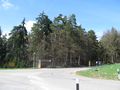
Lonely bus stop - leave here
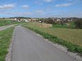
To hash village
Inside hash village
View back on hash village
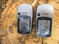
Coordinates reached
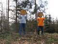
Hashers at the hash point
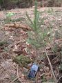
Marker
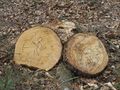
The official hash tree (tm)
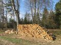
Last year's hash trees.
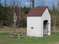
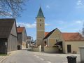
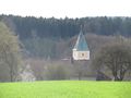
Small chapel...

... with a mixture of christian and non-christian easter symbolics
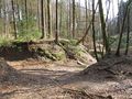
A maze of twisty little passages?
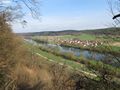
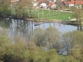
View into the Donau valley
A ferry we had planned to take, but we were to late for that route
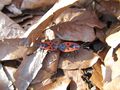
Some local fauna...

... and flora.
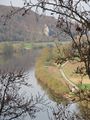
Another view into the Donau valley...
... with a certain lack of stations nearby.
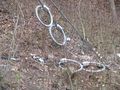
Rings for giant hobbits.
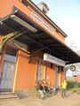
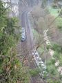
Finally: Some public transport to bring us back to Regensburg

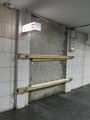
Ingolstadt Hbf: This way to platform 3.


