Difference between revisions of "2016-04-04 51 9"

From Geohashing
imported>GeorgDerReisende
m (achievement added)
imported>FippeBot
m (Location)
 
Line 52: Line 52:
  
 
[[Category:Coordinates reached]]
 
[[Category:Coordinates reached]]
 +
{{location|DE|HE|WIZ}}

Latest revision as of 00:07, 16 August 2019

Mon 4 Apr 2016 in 51,9:
51.3055926, 9.8213584
geohashing.info google osm bing/os kml crox


Location

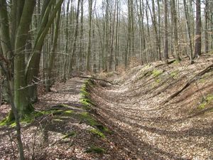
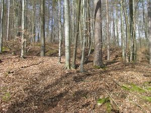
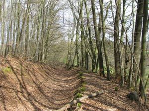
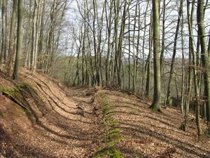
Today's hash lay on the edge of a defile in a forest near Dohrenbach.

Participants

GeorgDerReisende

Plans

Hitchhiking and walking.

Expedition

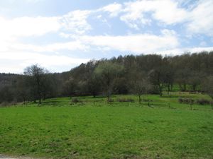
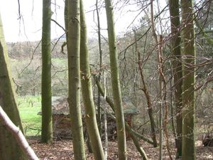
2016-04-04 51 9 GeorgDerReisende 9825.jpg I left home after noon and started to hitchhike at 12:50. After some minutes a car stopped and picked me up. The driver wanted to drive around a little bit, so he brought me to the sporting site of Dohrenbach, where I arrived at 13:25. There were only 500 meters to hash. I walked uphill, along a meadow up to a little shed, then into the forest and after some meters I was there. Too easy for today.
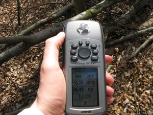
2016-04-04 51 9 GeorgDerReisende 9832.jpg 2016-04-04 51 9 GeorgDerReisende 9834.jpg Some meters to go and proof.
2016-04-04 51 9 GeorgDerReisende 9836.jpg west 2016-04-04 51 9 GeorgDerReisende 9837.jpg north 2016-04-04 51 9 GeorgDerReisende 9838.jpg east
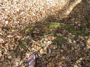
2016-04-04 51 9 GeorgDerReisende 9839.jpg south 2016-04-04 51 9 GeorgDerReisende 9840.jpg one and a half meters down
2016-04-04 51 9 GeorgDerReisende 9842.jpg The site of the hash from the other side.
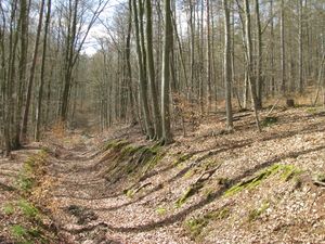
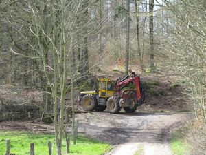
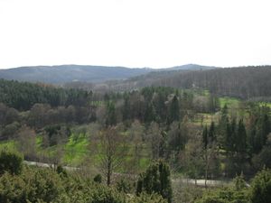
2016-04-04 51 9 GeorgDerReisende 9865.jpg 2016-04-04 51 9 GeorgDerReisende 9888.jpg On my way out of the forest I met one of these wood eating veloci-raptors, but it didn't take notice of me. From an opposite hill I had another view to the hash-hill.

Achievements

EasyAsPi.PNG
GeorgDerReisende has visited an Easy Geohash
by reaching the (51, 9) geohash on 2016-04-04 without really trying.
Osm.png
This user earned the OpenStreetMap achievement
by contributing to OpenStreetMap based on their expedition to the (51, 9) geohash on 2016-04-04.