Difference between revisions of "2020-08-30 51 9"
From Geohashing
m (Location) |
m |
||
| Line 39: | Line 39: | ||
[[Category:Expeditions with photos]] | [[Category:Expeditions with photos]] | ||
| − | + | [[Category:Coordinates reached]] | |
[[Category:Expedition without GPS]] | [[Category:Expedition without GPS]] | ||
{{location|DE|NI|GÖ}} | {{location|DE|NI|GÖ}} | ||
Latest revision as of 11:33, 12 September 2021
| Sun 30 Aug 2020 in 51,9: 51.3869381, 9.9421928 geohashing.info google osm bing/os kml crox |
Location
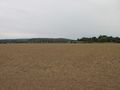
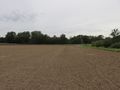
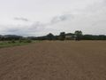
The hash lay on a field south of Niedergandern.
Participants
Plans
Taking the train to Eichenberg and a walk along the fields until the field of hash.
Expedition
As planned. The hash lay some meters onto the field and the field was harvested. No problems.
Photos
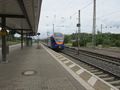
arrived in Eichenberg
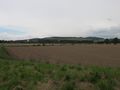
the first view to the hash
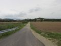
the way to the hash
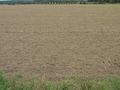
there is the hash!
here
south
west

north
east

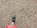
the geohasher


