Difference between revisions of "2023-11-06 50 11"
From Geohashing
(report) |
m (Location correction) |
||
| (3 intermediate revisions by one other user not shown) | |||
| Line 1: | Line 1: | ||
{{meetup graticule | {{meetup graticule | ||
| − | | lat= | + | | lat=50 |
| lon=11 | | lon=11 | ||
| − | | date=2023- | + | | date=2023-11-06 |
}} | }} | ||
| Line 8: | Line 8: | ||
__NOTOC__ | __NOTOC__ | ||
== Location == | == Location == | ||
| − | On a cropped field | + | On a cropped field very close to Podelsatz (Saale-Holzland-Kreis, Thuringia, Germany). |
== Participants == | == Participants == | ||
| Line 18: | Line 18: | ||
== Tracklog == | == Tracklog == | ||
| − | [https://www.strava.com/activities/10173078437] | + | [https://www.strava.com/activities/10173078437 Strava activity] |
== Photos == | == Photos == | ||
| Line 30: | Line 30: | ||
[[Category:Expeditions with photos]] | [[Category:Expeditions with photos]] | ||
[[Category:Coordinates reached]] | [[Category:Coordinates reached]] | ||
| − | {{location|DE|TH| | + | {{location|DE|TH|SHK}} |
Latest revision as of 04:52, 7 November 2023
| Mon 6 Nov 2023 in 50,11: 50.8785834, 11.7026422 geohashing.info google osm bing/os kml crox |
Location
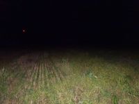
On a cropped field very close to Podelsatz (Saale-Holzland-Kreis, Thuringia, Germany).
Participants
Expedition
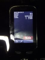
Cycled there in the dark.
Tracklog
Photos
|


