File:Almabridgeatlgcreektrail71512.jpg
From Geohashing
Size of this preview: 450 × 600 pixels. Other resolutions: 180 × 240 pixels | 1,536 × 2,048 pixels.
Original file (1,536 × 2,048 pixels, file size: 989 KB, MIME type: image/jpeg)
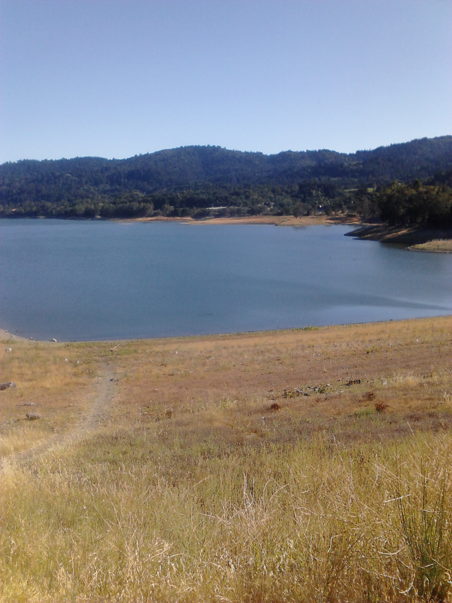
The end of the trail! Lexington Reservoir, at the intersection of LG Creek Trail and Alma Bridge Road.
File history
Click on a date/time to view the file as it appeared at that time.
| Date/Time | Thumbnail | Dimensions | User | Comment | |
|---|---|---|---|---|---|
| current | 15:41, 30 January 2020 | | 1,536 × 2,048 (989 KB) | Maintenance script (talk | contribs) |
- You cannot overwrite this file.
File usage
The following page links to this file: