Difference between revisions of "Klamath Falls, Oregon"
From Geohashing
m (Replacing Peeron with Geohashing.info) |
m (per Renaming Proposal) |
||
| Line 21: | Line 21: | ||
[[2010-08-13 42 -121]] -- [[User:Michael5000|Michael5000]] and [[User:Mrs.5000|Mrs.5000]] reach a hashpoint on National Forest land east of Chiloquin. | [[2010-08-13 42 -121]] -- [[User:Michael5000|Michael5000]] and [[User:Mrs.5000|Mrs.5000]] reach a hashpoint on National Forest land east of Chiloquin. | ||
| − | {{ | + | {{Graticule unlocked |
| latitude = 42 | | latitude = 42 | ||
Latest revision as of 07:15, 20 March 2024
| Oakridge | La Pine | Hampton |
| Medford | Klamath Falls | Lakeview |
| Yreka, California | Tulelake, California | Alturas, California |
|
Today's location: geohashing.info google osm bing/os kml crox | ||
This graticule is located at 42,-121. Today's location
Expedition History
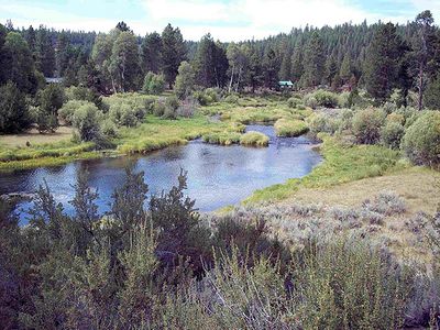
2010-08-13 42 -121 -- Michael5000 and Mrs.5000 reach a hashpoint on National Forest land east of Chiloquin.
Michael5000 and Mrs.5000 earned the Graticule Unlocked Achievement
|
Michael5000 earned the Birthday Geohash Achievement
|
Very Old Content - remove if this page gets actually in use
Seeing if anyone else around KFalls has noticed xkcd. --geodejerry@jeffnet.org
It has been noticed, however I have not seen anyone at any of the locations, not many times have I been able to get out on Saturday afternoon. --wnnorton(at)yahoodotcom
