Difference between revisions of "Low Geohash"
imported>Sourcerer m (→Template Link) |
imported>Sourcerer m (→Achievements Pages Clean Up) |
||
| Line 1: | Line 1: | ||
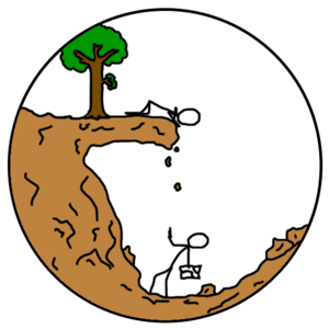
[[Image:Lowgeohash.png|thumb|300 px|Low Geohash Icon]] | [[Image:Lowgeohash.png|thumb|300 px|Low Geohash Icon]] | ||
[[:Template:Low Geohash]] | [[:Template:Low Geohash]] | ||
| + | {{Template:Low Geohash}} | ||
| + | Add this ribbon if you reach a geohash below sea level! | ||
This ribbon is displayed by the people who have attended the geohash with the lowest terrain elevation. Geohashers who attended a low altitude geohash which is superseded by another at a lower altitude get to keep their ribbons. Underwater and underground geohashing are eligible for this award. | This ribbon is displayed by the people who have attended the geohash with the lowest terrain elevation. Geohashers who attended a low altitude geohash which is superseded by another at a lower altitude get to keep their ribbons. Underwater and underground geohashing are eligible for this award. | ||
| Line 44: | Line 46: | ||
| | | | ||
|} | |} | ||
| − | |||
| − | |||
| − | |||
| − | |||
| − | |||
Revision as of 12:15, 22 July 2015
This user earned the Lowest Geohash Achievement
|
Add this ribbon if you reach a geohash below sea level!
This ribbon is displayed by the people who have attended the geohash with the lowest terrain elevation. Geohashers who attended a low altitude geohash which is superseded by another at a lower altitude get to keep their ribbons. Underwater and underground geohashing are eligible for this award.
Winners
Geoff achieved the 2012-05-14 29 -80 hash at 6.7 metres below sea level at Daytona Beach Shores, Florida.
Elbie achieved the 2009-05-17 48 -123 hash, which was at 6 metres below sea level, near Swartz Bay.
Azijn & Friends achieved the Geohash for 2008-07-26 at 5 metres below sea level, in the Almere Polder. If you did a low geohash that was earlier, or a subsequent geaohash that was lower, take the ribbon, even if it has expired. Enter your information in the appropriate line of the table and please also update the "currently" number on the Achievements page.
| Geohash | Geohashers | Terrain Elevation |
|---|---|---|
| 2012-05-14 | Geoff | -22' / -6.7 m |
| 2009-05-17 | Elbie | -6 m |
| 2008-07-26 | Azijn | -16' / -5 m |
| 2008-08-27 | Thomcat | -11.3' / -3 m |
| 2008-08-18 | Relet | -2.3 m |
