Difference between revisions of "Slave Lake, Alberta"
From Geohashing
imported>Robyn (I tried) |
imported>Robyn (Makes me want to rent a car. :-() |
||
| Line 21: | Line 21: | ||
==Expeditions== | ==Expeditions== | ||
| − | [[2008-08-15 55 -114|2008-08-15]] - Unsuccessful expedition by [[User:Robyn|Robyn]] | + | *[[2008-08-15 55 -114|2008-08-15]] - Unsuccessful expedition by [[User:Robyn|Robyn]]. |
| + | *[[2008-08-16 55 -114|2008-08-16]] - Robyn gets to within 0.22 nm of the geohash. | ||
| + | *2008-08-19 - The hash is '''right on a road''' but it's 75 km away. | ||
== Notable Events == | == Notable Events == | ||
Revision as of 15:42, 19 August 2008
| mosquitoes | bears | mosquitoes |
| Utikuma Lake | Slave Lake, Alberta | Calling Lake |
| Whitecourt | Barrhead | Athabaska |
[[Category:Meetup in {{{lat}}} {{{lon}}}| ]]
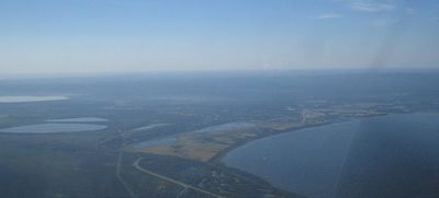
The Slave Lake, Alberta graticule is at 55, -114. There's Slave Lake, which has a small airport, and a highway. And there's part of Lesser Slave Lake. And mosquitoes. And bears.
Activities
If you are lucky enough to be in this graticule in mid-July, you can attend the Alberta Open Sandsculpture Championships.
Expeditions
- 2008-08-15 - Unsuccessful expedition by Robyn.
- 2008-08-16 - Robyn gets to within 0.22 nm of the geohash.
- 2008-08-19 - The hash is right on a road but it's 75 km away.
Notable Events
Local Geohashers
Robyn is here for the month of August 2008. It's going to be a lucky day that I get to a geohash.
