2009-04-18 49 7
| Sat 18 Apr 2009 in Kaiserslautern: 49.0845888, 7.8377370 geohashing.info google osm bing/os kml crox |
Contents
[hide]Location
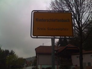
Today's hashpoint is located in a field in the Rheinland-Pfalz village of Niederschlettenbach. Next station is Bundenthal-Rumbach, which however is only served on Sundays. The next regular-served station is Wissembourg.
Expeditions
Koepfel
Planning
I will take the train to WIssembourg and then bike about 14 kilometers to Niederschlettenbach.
- Leave Karlsruhe Hauptbahnhpf at 9:34, take a Regionalbahn to Winden, from there a Regionalbahn to Wissembourg, arriving at 10:28.
- Then I'll ride to the Hashpoint. Since the area around Niederschlettenbach is not exactly flat land, this might take a little longer.
- Trains back from Wissembourg leave at *:33, every hour.
- Depending on when I'm back in Karlsruhe I might still go on 2009-04-18 49 8, which seems easier. Take the bike into the Stadtbahn S4 to Zaisenhausen, from there it's about 4 kilometer to the Hashpoint.
Update at 06:39, 18 April 2009 (UTC): As I woke up this morning, I heard the sound of raindrops falling on my window. Looks like this is going to be a Drowned Rat Geohash.
Live from the Expedition
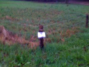
- and it was a drowned rat geohash. Coordinates were reached in pouring rain at about 12:00. Now back on the train home, to change clothes --koepfel 11:50, 18 April 2009 (UTC)
- just arrived in karlsruhe. Somehow i'm getting used to wet clothes, so i now will continue with the 14:36 s4 to the next hashpoint --koepfel 12:33, 18 April 2009 (UTC)
- \o/ hashpoint #2 (in 49 8) was reached at about 16:10. I'm now back at the station heading home. --koepfel 14:34, 18 April 2009 (UTC)
Afterwards
(all Pictures of the expedition)
Note: This is a just a short summary of the expedition. A more detailed description is included in the Image Gallery linked above.
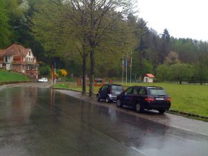
I left my home at 9:00. Being the lazy Geohasher that I am, I took the tram to the Main Station, where I boarded the Regionalbahn to Winden. In Winden, I entered a modern French local train to Wissembourg, And now, the fun begins: As you might have heard, it was raining. My clothing was soaked after not even a third of the ride. The Hashpoint was in a very muddy meadow, it might have been a nice area, but with the pouring rain, I decided to get back to the dry station building in Wissembourg as soon as possible. In Wissembourg, I discovered a road called road of walking and a machine selling DNA.
After my clothes dried a bit in the train back home, I decied to do the second expedition right away, without going home first. Part 2 >
Koepfel earned the Border geohash achievement
|
(in fact, I crossed it two times each on the way there and back. Both my home and the Hashpoint are in Germany. The nearest train station was in France, though.
Koepfel earned the Drowned Rat Geohash Achievement
|
Koepfel earned the Multihash Achievement
|


