2011-08-03 52 1
| Wed 3 Aug 2011 in Norwich: 52.1063683, 1.2701771 geohashing.info google osm bing/os kml crox |
Contents
[hide]Location
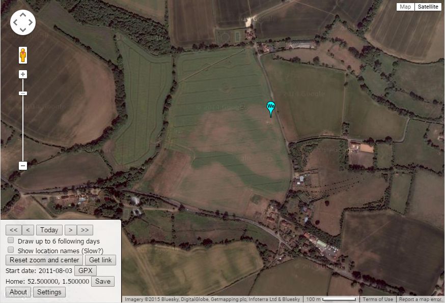
3 km west of Woodbridge, Suffolk, UK. It was in an oil seed rape field 17 metres west of the road.
Participants
Expedition
A few days had elapsed since my last expedition so what better than to go midnight hashing. After picking off 2011-08-02_52_1 at 23:32 I headed south.
I parked in a passing place on the single track road leaving the side lights on. At 1a.m. there would be little traffic.
Soon after 1a.m. my droid reported the following.
- Arrived. -- Sourcerer @52.1064,1.2704 01:08, 03 August 2011 (GMT+01:00)
The hashpoint was 17 metres into an oil seed rape field. I squeezed past a few tall wiry plants, soon to be harvested, until I was inside the circle of uncertainty. I didn't bother to get zero on the display. The plants were so thickly intergrown that the damage would have been unacceptable. After all this is geohashing, not crop-circle making!
The drive home on a warm summer night on traffic free roads was very pleasant.
Photos
It was pitch dark!
Achievements
Sourcerer earned the Midnight Geohash achievement
|
Expeditions and Plans
| 2011-08-03 | ||
|---|---|---|
| Pakenham, Australia | Felix Dance | In a park in Cranbourne. |
| Portland, Oregon | Kydlt, Michael5000 | Just off the N side of I-84 between exit 16 &17. If the Google street view... |
| Frankfurt am Main, Germany | QuarterCacher | Near Erbsenacker |
| Norwich, United Kingdom | Sourcerer | 3 km west of Woodbridge, Suffolk, UK. It was in an oil seed rape field 17 m... |
| Sheffield, United Kingdom | Monty | At a gatepost of a house in Sutton in Ashfield, Nottinghamshire, UK. |
| Gjøvik, Norway | lyx, relet | Jørgen Moes Vei, Norway |
Sourcerer's Expedition Links
2011-08-02 52 1 - 2011-08-03 52 1 - 2011-08-16 52 1 - KML file download of Sourcerer's expeditions for use with Google Earth.
