2015-10-23 -43 172
| Fri 23 Oct 2015 in -43,172: -43.4405648, 172.5756894 geohashing.info google osm bing/os kml crox |
Location
Coutts Island, Canterbury, NZ
Participants
The Quaternary (talk) family geohashers
Plans
We knew there was a hash out there, but hadn't managed to get to it all day. Yeah, it was 11pm, but we weren't quite ready to go to bed - let's do it - a nice jaunt in the country before bed.
Expedition
We had an hour to do the hash, but googlemaps indicated we'd only need half an hour ...
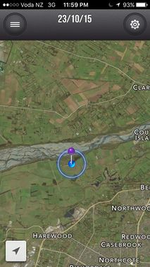
Coutts Island is so called because it was formerly an island enclosed by the channels of the Waimakariri River. Subsequently, it's been incorporated into the south bank of the river.
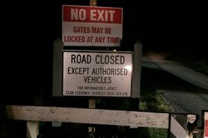
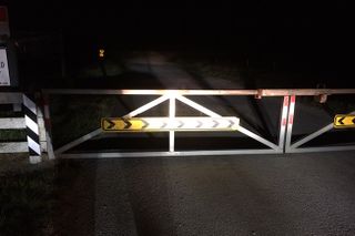
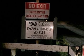
We programmed the satnav, and headed out. We were a few kilometres away when we came across road barriers. The road had been closed off. Arghh! We had now about 20 minutes left to get there, so we started circling around. We gave the pedal some jandle.
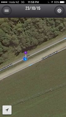
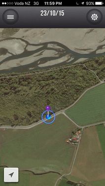
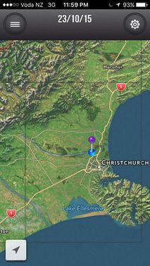
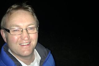
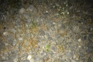
It was now five minutes to midnight and we were finally bearing down on the hash. But what's this? Another road barrier. We were close to giving up. I thought we were about 3 kilometres away from the hash. But looking at the geohash+ app, I realised that I had incorrectly programmed the satnav, and the hash was more like 500 metres away. Five hundred metres in five minutes was more achievable, so off I sprinted. We got to the hash at two minutes to midnight!
At least I guess that makes us eligible for the "Midnight Geohash" award.
Tracklog
Photos
Achievements
Quaternary earned the Consecutive geohash achievement
|
Quaternary earned the Midnight Geohash achievement
|
Quaternary earned the Electric Vehicle Achievement
|
