2017-04-10 52 1
| Mon 10 Apr 2017 in Norwich, UK: 52.5776200, 1.3396337 geohashing.info google osm bing/os kml crox |
Location
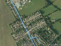
The pavement and cycle track north of Poringland, Norfolk, UK.
Participants
- ChromeCrusaders and independently ...
- Sourcerer
Plans
Un-planned - ChromeCrusaders
Go in the evening after the traffic dies down a bit. - Sourcerer
Expedition
ChromeCrusaders
- Did it.
- I thought I would be able to get the point by road, parking on the curb but wasn't quite close enough so I parked at a near by pub and walked.
-- ChromeCrusaders (talk) @52.5776,1.3395 19:08, 10 April 2017 (GMT+01:00)
Sourcerer
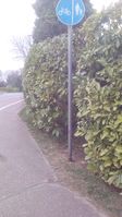
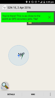
After a short tresspass into a front drive, it turned out that the hashpoint was on the public side of the hedge. Uploading the evidence photos was routine but I got some odd looks as I was facing the hedge and leaning in to get my distance down to about a metre. I was not taking a pee! Honest!
Photos
- Gallery
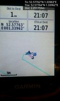
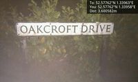
Arrived. @52.5776,1.3396
Location @52.5776,1.3396
Achievements
Expeditions and Plans
| 2017-04-10 | ||
|---|---|---|
| Norwich, United Kingdom | ChromeCrusaders, Sourcerer, independently ... | The pavement and cycle track north of Poringland, Norfolk, UK. |
Sourcerer's Expedition Links
2017-04-08 52 1 - 2017-04-10 52 1 - 2017-04-21 52 1 - KML file download of Sourcerer's expeditions for use with Google Earth.
