Location
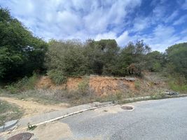
On a -yet to be constructed- urbanisation of Vallromanes, Catalonia.
Participants
SastRe.O
Plans
Bike there. And find a few geocaches on the way, specially searching for one that was hidden on 2003.
Expedition
I actually had to sweat this one ¿^^ Started a little later that planned. Wanted at around 08:30-09:00 but did at 09:20. And I took off not being sure if I would be going after the hash. Had the track loaded on my GPSr but I had some time constraints and the train I was planning on taking back home came only 1 every hour. And since I was going to some places I still have to discover with my bike I wasn't sure how long it would take me.
The first part was the same as for 2021-07-16 41 2. I passed right by the hash and this time continued along the river upstream. Found a few geocaches but only those on which I had not to spend much time. Today's goal was different.
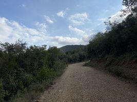
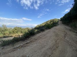
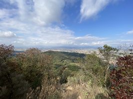
In Martorelles I left the river and went towards the mountain. I had done more than half -on flat surface- and still had a few hours spare, so I did indeed go after the hash. But here the real climbing started. Once I started to see the ruins of the castle the real slopes appeared. I had to push my bike on the last one.. The last 1km with a 12% average killed me. I had however splendid views of the area. Meanwhile I heard some shotgun shots in the distance.
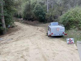
Here I got to reach the castle ruins and the mention geocache hidden on 2003. Now I was headed towards the geohash. What you are interested in ;) From here it was downhill. But when I approach on of the roads, it seemed to be closed? There was a chain and a sign warning they were hunting wild boars. There was a man there, I asked him if I could continue. He said, yeah, others have. Well, ok, other may have, but is it allowed? Yeah yeah, go on. Those were the gunshots I was hearing earlier although it had been quite for a while.
I knew no other way. So I wore my reflective gear as a precaution and continued. Since it was downhill sone enough I was leaving the path were the same sign pointed in the direction I was coming from. Apparently I left the hunting area.
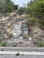
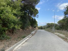
Now I was really close of the hash. This looked like some urbanisation that had to be built sometime and never happened. The streets were there, but all the urban infrastructure, as lights, electric boxes and such were like dismantled or looted. A phantom neighbourhood. Hash seemed to lay next to one of those streets. Parked Frühlingskiefer and made the last approach on foot.
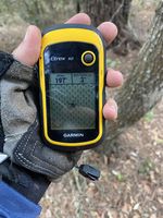
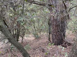
While doing so, I heard some breaking of branches nearby, as well as some dogs barking a little further away. Not wanting no meet with the hunters nor their dogs nor their preys, I rushed it a little and once I considered I had sufficient proof I left the place.
The rest is me going to the train station. I had believed the whole way that it was departing at :50 and had plenty of time. Once at the station I see that it was leaving at :37, and I noticed that I had checked the time for the wrong direction :P Lucky for me I arrived at :10, so I was still on time to take the train back home.
Tracklog
Photos
| First sight of the ruins. |
| The last of these slopes is the one that killed me. |
| View from near the castle ruins, looking ~NW. |
| Warning of the hunting taking place. |
| Remains of a future that never took place. |
| Sufficient proof with GPSr. |
| Sufficient proof as screenshot. |
| General view of the hash area. |
|
Achievements
Other Geohashing Expeditions and Plans on This Day
Expeditions and Plans
Update this list.
