Difference between revisions of "2013-12-24 49 12"
From Geohashing
imported>Dawidi (writeup and pictures.) |
imported>FippeBot m (Location) |
||
| Line 23: | Line 23: | ||
[[Category:Expeditions with photos]] | [[Category:Expeditions with photos]] | ||
[[Category:Coordinates reached]] | [[Category:Coordinates reached]] | ||
| + | {{location|DE|BY|R}} | ||
Latest revision as of 04:59, 14 August 2019
| Tue 24 Dec 2013 in Regensburg, Germany: 49.0889723, 12.0858484 geohashing.info google osm bing/os kml crox |
In a forest near Lorenzen, a few kilometers north of Regensburg.
dawidi
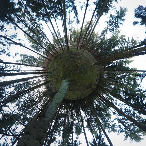
... went there by bike in the afternoon as a detour of about 16 kilometers, between his office and home, reaching the hashpoint around sunset. The exact spot was a mossy patch next to (surprise!) a tree, about 40 meters from the nearest track.
He had originally planned to take another route back out of the forest, but since the unpaved tracks were rather muddy (where they weren't frozen), he decided to get back to the main road the way he came. The rest of the route was familiar terrain - dawidi had previously been to 2010-01-28 49 12 just north of this forest, and to 2012-01-26 49 12 at the same forest's southern edge.


