Difference between revisions of "2019-09-29 50 10"
m (Location) |
(→tracklog) |
||
| (One intermediate revision by the same user not shown) | |||
| Line 24: | Line 24: | ||
{{ | {{ | ||
| − | Two to the N achievement | count = 8 | date = 2019-09-29 | latitude = 50 | longitude = 10 | name = Danatar | reached = true }} | + | Two to the N achievement | count = 8 | date = 2019-09-29 | latitude = 50 | longitude = 10 | name = Danatar | reached = true }}{{ |
| + | Dark Ages | latitude = 50 | longitude = 10 | date = 2019-09-29 | name = Danatar | image = 2019-09-29_50_10_eichhorn.jpg }} | ||
{{gallery|width=200|height=200|lines=2 | {{gallery|width=200|height=200|lines=2 | ||
| Line 42: | Line 43: | ||
===tracklog=== | ===tracklog=== | ||
| − | + | {{tracklog | 2019-09-29 50 10-triton.gpx}} | |
[[Category:Expeditions]] | [[Category:Expeditions]] | ||
Latest revision as of 11:29, 17 August 2023
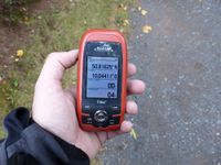
| Sun 29 Sep 2019 in Schweinfurt: 50.8162918, 10.0441078 geohashing.info google osm bing/os kml crox |
Location
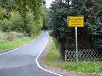
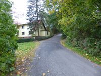
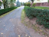
Today's location is in front of a farm house near Vacha.
Country: Germany; state: Thüringen (Thuringia, EU:DE:TH); district: Wartburgkreis; municipality: Vacha
Weather: clouded, ~17°C
Expedition
Danatar
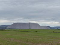
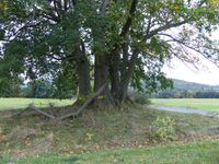
I was on my way from my parents' place in 49 8 to Dresden. After 2.5 hours of continuous driving I left the Autobahn A4 at the Friedewald exit and drove through Philippsthal to Vacha. There I parked the car at the lower end of a street that led to the hashpoint, then I started walking. After a short while I reached the area of the hashpoint. The GPS dance finally brought me to the spot which luckily wasn't in in the next house's garden but instead just outside. After some pictures I continued on that street because Google Maps had a marker for a maple tree with four trunks. When I got there it was indead an impressive tree but I believe that it's not one plant but instead four which are very near to each other. Then I walked back, passing the hashpoint again. Shortly after I saw a squirrel with an acorn climbing a tree. It watched me, then fled. Then I continued my journey to Dresden. First I drove along the country roads to Eisenach. My initial plan to visit the Wartburg was cancelled because I was later than planned, so I went on the Autobahn at the Eisenach East exit, the drive to Dresden took me another four hours.
In total, this expedition was a detour of 16.6 km during a 550 km drive.
It took me 8 years to get from 27 to 28 reached hashpoints.
Danatar earned the Two to the N achievement
|
Danatar earned the Dark Ages achievement
|
|
tracklog

