Difference between revisions of "2011-09-19 44 -118"
From Geohashing
imported>FippeBot m (Location) |
m (per Renaming Proposal) |
||
| Line 40: | Line 40: | ||
| − | {{ | + | {{Graticule unlocked |
| latitude = 44 | | latitude = 44 | ||
| longitude = -118 | | longitude = -118 | ||
Latest revision as of 05:49, 20 March 2024
| Mon 19 Sep 2011 in 44,-118: 44.4223289, -118.2688817 geohashing.info google osm bing/os kml crox |
Location
In National Forest land southwest of Unity.
Participants
Expedition
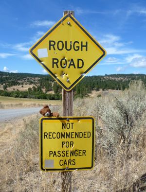
This was a fairly straightforward hashpoint if you happened to be passing through the area. A paved road southwest from the little town of Unity ended close to the border of the Wallowa-Whitman National Forest, and following a rough forest service road brought me to within a few hundred meters. A steep climb up a wooded slope was tough going, but led to a smooth stony ridgetop with handsome views of the border of forest and rangeland.
From here, I returned to Unity and continued to follow U.S. 26 westward towards the next hashpoint.
Photos
Achievements
Michael5000 earned the Graticule Unlocked Achievement
|
Michael5000 earned the Multihash Achievement
|
- Six attempts and four successes in one long day.
- Eighth Expedition of the Endurance Geohashing series.


