Difference between revisions of "2024-05-15 -38 145"
m (Location) |
|||
| Line 38: | Line 38: | ||
The metres count down until we are perpendicular to the point. 45m away. In the water. I am cursing. KT is gleeful. She's not even trying to hide it. She loves a swim. She promises not to let me drown. | The metres count down until we are perpendicular to the point. 45m away. In the water. I am cursing. KT is gleeful. She's not even trying to hide it. She loves a swim. She promises not to let me drown. | ||
| + | |||
| + | <gallery heights="300px" mode="packed"> | ||
| + | |||
| + | File:PXL_20240515_042832899.jpg | ||
| + | File:PXL_20240515_042954660.jpg | ||
| + | File:PXL_20240515_043112894.jpg | ||
| + | File:PXL_20240515_043138317.jpg | ||
| + | File:PXL_20240515_043332835.PORTRAIT.jpg | ||
| + | File:PXL_20240515_044009788.MP.jpg | ||
| + | File:PXL_20240515_044624366.jpg | ||
| + | </gallery> | ||
| + | |||
=== Wet === | === Wet === | ||
| Line 55: | Line 67: | ||
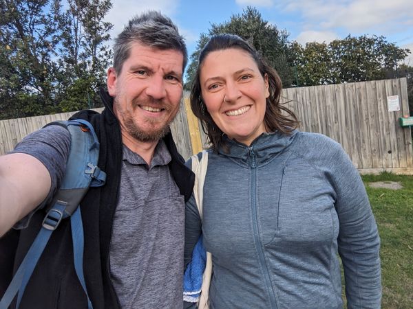
It only takes a minute or two until I get the satisfaction of the green success box from the app. There's no way I can take a screenshot with one hand, unfortunately, but I do manage to get a couple of photos with KT before we head in. Somehow I've succeeded in keeping the phone out of the water the whole way, and it's weathered a few splashes without mishap. | It only takes a minute or two until I get the satisfaction of the green success box from the app. There's no way I can take a screenshot with one hand, unfortunately, but I do manage to get a couple of photos with KT before we head in. Somehow I've succeeded in keeping the phone out of the water the whole way, and it's weathered a few splashes without mishap. | ||
| + | |||
| + | <gallery heights="300px" mode="packed"> | ||
| + | |||
| + | File:PXL_20240515_052819336.MP.jpg | ||
| + | File:PXL_20240515_053215604.MP.jpg | ||
| + | </gallery> | ||
| + | |||
=== Damp === | === Damp === | ||
| Line 73: | Line 92: | ||
<gallery heights="300px" mode="packed"> | <gallery heights="300px" mode="packed"> | ||
| − | |||
| − | |||
| − | |||
| − | |||
| − | |||
| − | |||
| − | |||
| − | |||
| − | |||
| − | |||
File:PXL_20240515_061233120.jpg | File:PXL_20240515_061233120.jpg | ||
File:PXL_20240515_061913016.MP.jpg | File:PXL_20240515_061913016.MP.jpg | ||
| Line 95: | Line 104: | ||
{{#vardefine:ribbonwidth|100%}} | {{#vardefine:ribbonwidth|100%}} | ||
{{Water geohash|latitude=-38|longitude=145|date=2024-05-15|name=Stevage}} | {{Water geohash|latitude=-38|longitude=145|date=2024-05-15|name=Stevage}} | ||
| + | {{Water geohash|latitude=-38|longitude=145|date=2024-05-15|name=KT}} | ||
__NOTOC__ | __NOTOC__ | ||
Revision as of 03:01, 17 May 2024
| Wed 15 May 2024 in -38,145: -38.4082337, 145.2287004 geohashing.info google osm bing/os kml crox |
Location
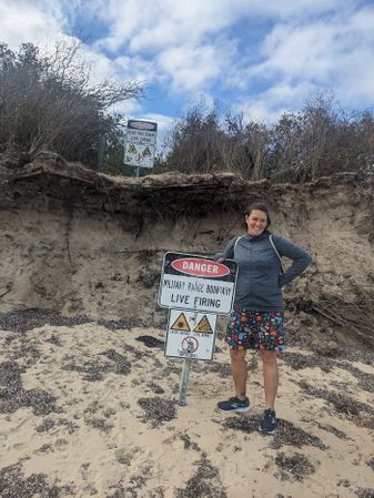
On a beach near Somers, near Sandy Point, just outside the HMAS Cerberus naval base.
Participants
Expedition
Dry
It is a busy day. My tax is due. My clients have work they need doing. My friend has called an emergency board game evening. There is no time for a geohash.
Until I look at the day's geohash and am immediately intrigued by this point down on the fartherst reaches of the Mornington Peninsula. A place called Sandy Point, not to be confused with the nearby, and equally lacking in imagination, Stony Point. It's on the edge of the HMAS Cerberus naval base, which I don't know much about, other than being occasionally confused whether it is a ship or a base.
After idly confirming that the point does appear to be publicly accessible, I put it out of mind. It'd be a long drive and a long walk on a beach, neither of which are my favourite things.
But then KT messages me, and a flurry of messages later, and somehow we've talked each other into going. KT is of course talking about going for a swim, which is typical. Western Port Bay, in late autumn, does not tempt me, but I admire her fortitude. I pack bathers and a towel just in case I succomb her to persuasive powers, however.
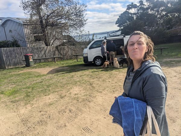
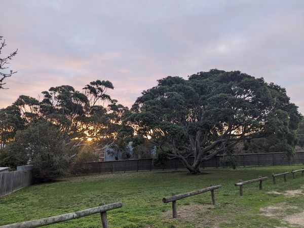
An uneventful drive later and we're at the top of the "100 steps" beach access. There is a rather magnificent gumtree capturing our attention until a handful boisterous dogs does an even better job.
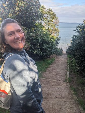
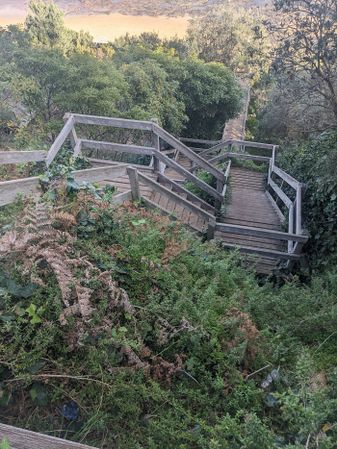
Down the precipitously steep steps, and KT is musing about how far we might have to swim to the hash.
Wait.
What?
Swim?
It dawns on me that in my hasty preparation, I had somehow overlooked the usual step of checking the satellite imagery to see the immediate surrounds of the point. So distracted was I by questions of public access and toponymy, I had breezed past this key detail. Oh dear. Had I considered this possibility I might have been more prepared, perhaps with ziplock bags to waterproof my phone. Or, more realistically, I might not have come.
It's true that I have long hoped that I might find a water geohash that I could swim to, but my morbid fear of open water has often been an obstacle in this regard. However, with two water geohashes behind us (one with inflatable kayak, one with a swim/paddleboard combo), perhaps I am finally ready to face this demon.
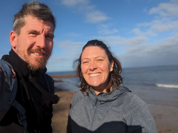
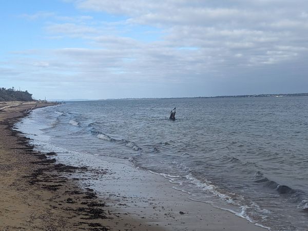
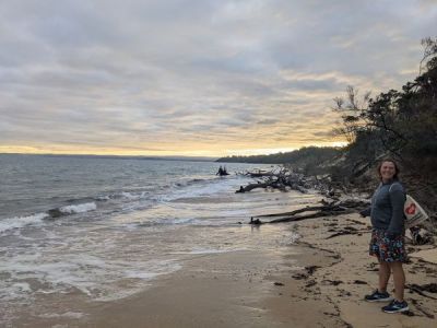
Really, though, this is a problem for future Steve. Current Steve is focused on getting to the point and back in time for board games. We march off. Glorious sunshine bathes us. There are currently no dogs, but we are hopeful. The sea is calm, and we can see across the water to what we eventually realise is the town of Cowes on Phillip Island.
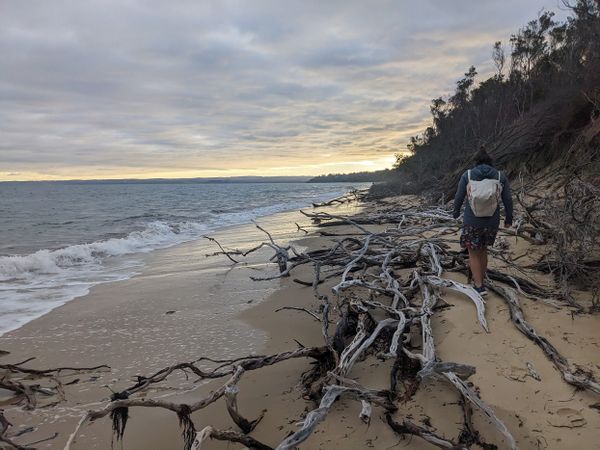
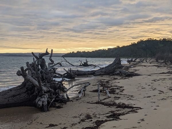
The tide is slowly coming in, and it does not escape our notice that the logs and branches that we can easily pass around on this leg of the journey may be much more obstacular on the return. There are many pied cormorants, jostling over rare perching sticks in the water. Large drifts of fine seaweed line the sand. We constantly shift position, looking for the firmest sand, which seems to fluctuate with no pattern.
The hoped-for dogs do not eventuate, nor any humans. We are alone. With purpose. We enter a cycle of approaching a tiny headland, rounding it, and seeing another identical headland.
The metres count down until we are perpendicular to the point. 45m away. In the water. I am cursing. KT is gleeful. She's not even trying to hide it. She loves a swim. She promises not to let me drown.
Wet
Before I lose my nerve I strip off. I now discover that I lack pockets, so resolve to enter the water with phone aloft. I'm not sure where this plan is coming from - I'm not a strong swimmer, and I really don't like cold water. But I also don't want to have come this far and turned back so easily.
KT has charged in. I wade in after. We're both hoping that we might be able to wade all the way to the point, but I'm dubious. It's chilly, but not too bad. I'm more worried about drowning than freezing.
20m from the point and it's too deep to wade. I launch into a one-handed doggy paddle and immediately cop a mouthful of water. Instinct pushes me onto my back, where I find a surprisingly effective position: the phone stays out of the water, I can see the screen, and I can make progress.
KT is yelling words, but I'm so focused on my task and not drowning I can't really take it in. She's clearly having fun though.
15m, 10m, 7m, 6m, 6m, 6m, 7m, 8m. I'm east of the point, and fighting a losing battle with an easterly current that I have just discovered. I ought to be alarmed, but I'm mostly relieved that I'm not just swimming in the wrong direction.
I head back into the shallows to gain my footing and regroup with KT. I'd been about to call it as "good enough", but suddenly a new burst of determination fills me.
New plan: wade wasterly past the point, swim out level with it, and let the current take me past. Game on.
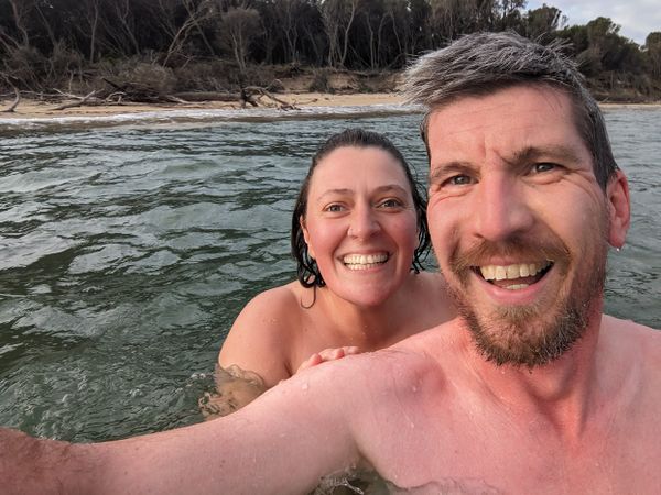
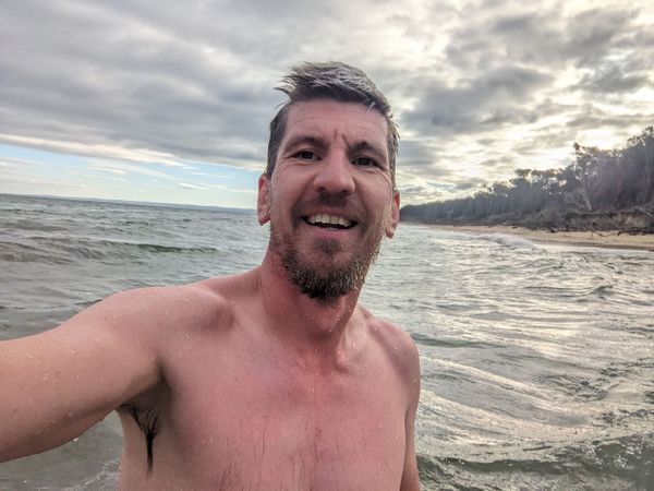
It only takes a minute or two until I get the satisfaction of the green success box from the app. There's no way I can take a screenshot with one hand, unfortunately, but I do manage to get a couple of photos with KT before we head in. Somehow I've succeeded in keeping the phone out of the water the whole way, and it's weathered a few splashes without mishap.
Damp
As we towel off, I inadvertently bump a recent gardening wound on my finger and rip it wide open, with a flurry of blood. I'm now trying to get dressed and ready while applying pressure, meaning once again I'm one-handed.
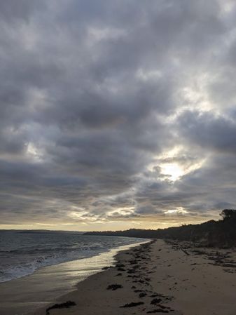
We towel off and head back, well chilled but in good spirits, a hunger for fish and chips solidly developed. The sky is well overcast by now, and the slowly setting sun is making wonderful sunbeams straight ahead of us.
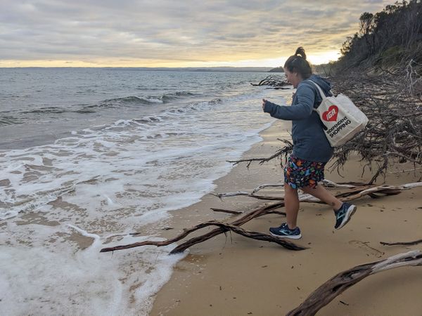
Waves from the rising tide periodically send us scurrying up the beach as we try to duck around logs and tree trunks, but never quite claim any victims.
We finally meet a dog, a deceptively-groomed standard poodle who is very glad to play fetch with me, and make small talk with his owner for a bit. Then we find the steps, which KT insists on counting (108).
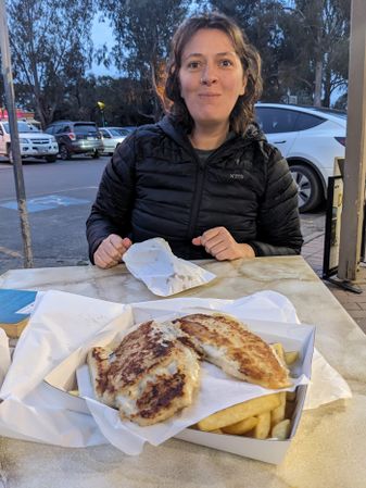
Fish and chips materialises in the nearby town of Balnarring, but I'm a bit disappointed by my flabby and undercooked barramundi. The chips are good, though, although the lack of pickled onions is a cause of some remorse for KT.
The adventure concludes with a hasty drop-off near KT's housesit, just in time for me to make the board games. Perfect day all round.
Photos
Achievements
Stevage earned the Water geohash achievement
|
KT earned the Water geohash achievement
|
