Difference between revisions of "2010-08-14 60 10"
From Geohashing
imported>Relet ([live] Power outage. I think that's the Internet's way of telling you to gtdo and go hashing. I'll just have to take care of the fridge first.) |
imported>FippeBot m (Location) |
||
| (16 intermediate revisions by one other user not shown) | |||
| Line 7: | Line 7: | ||
__NOTOC__ | __NOTOC__ | ||
== Paikka == | == Paikka == | ||
| − | + | On the southern shore of Sandungen, in the Forest, Oslo kommune. | |
| + | |||
| + | {{PBGH battleship | ||
| + | | lat = 60 | ||
| + | | lon = 10 | ||
| + | | date = 2010-08-14 | ||
| + | }} | ||
== Osallistujat == | == Osallistujat == | ||
| Line 16: | Line 22: | ||
== Tutkimusretki == | == Tutkimusretki == | ||
| + | |||
| + | *Power outage. I think that's the Internet's way of telling you to gtdo and go hashing. I'll just have to take care of the fridge first. -- [[User:relet|relet]] [http://www.openstreetmap.org/?lat=60.156822&lon=10.257061&zoom=16&layers=B000FTF @60,1568,10,2571] 11:01, 14 August 2010 (MESZ) | ||
| + | *Indeed. Power came back the moment I left the house. It's an expedition! -- [[User:relet|relet]] [http://www.openstreetmap.org/?lat=60.148118&lon=10.250963&zoom=16&layers=B000FTF @60,1481,10,2510] 11:21, 14 August 2010 (MESZ) | ||
| + | *Next 5km will be uphill. Oh joy! Last time, I gave up half way up. -- [[User:relet|relet]] [http://www.openstreetmap.org/?lat=60.12717604637146&lon=10.36237120628357&zoom=16&layers=B000FTF @60,1272,10,3624] 11:51, 14 August 2010 (MESZ) | ||
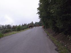
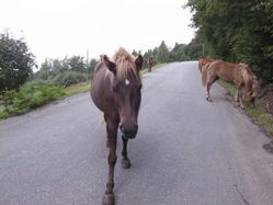
| + | *Geo-horsey roadblock. Maybe some Omgponies too. But being equestr-ignorant, I couldn't tell them apart. -- [[User:relet|relet]] [http://www.openstreetmap.org/?lat=60.1236355304718&lon=10.395861268043518&zoom=16&layers=B000FTF @60,1236,10,3959] 12:37, 14 August 2010 (MESZ) | ||
| + | *All that cycling must have been good for something. Enjoying the view on Storflatan with my breakfast sammich. -- [[User:relet|relet]] [http://www.openstreetmap.org/?lat=60.090263&lon=10.414417&zoom=16&layers=B000FTF @60,0903,10,4144] 13:07, 14 August 2010 (MESZ) | ||
| + | *Second breakfast: Raspberries! Woo! -- [[User:relet|relet]] [http://www.openstreetmap.org/?lat=60.11685490608215&lon=10.510273575782776&zoom=16&layers=B000FTF @60,1169,10,5103] 13:45, 14 August 2010 (MESZ) | ||
| + | *Ooh, coverage! Been hiking for the last 3km, then along a path that I would have called a creek, until that very muddy mountain biker shot past me. Coordinates reached, too! -- [[User:relet|relet]] [http://www.openstreetmap.org/?lat=60.11424243450165&lon=10.618479251861572&zoom=16&layers=B000FTF @60,1142,10,6185] 16:49, 14 August 2010 (MESZ) | ||
| + | |||
== Valokuvia == | == Valokuvia == | ||
{{#vardefine:gaWidth|250}} | {{#vardefine:gaWidth|250}} | ||
{{#vardefine:gaHeight|187}} | {{#vardefine:gaHeight|187}} | ||
| − | {{#vardefine:gaLines| | + | {{#vardefine:gaLines|3}} |
{{Gallery2| | {{Gallery2| | ||
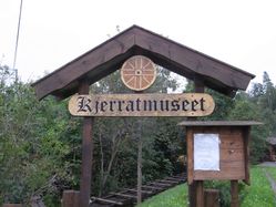
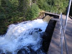
| − | + | {{GalleryItem | File:2010-08-14-60-10-R1060887.JPG | The turning wheel museum. Damtjern is known for its kjerrats, which use water power to transport timber up the hill. }} | |
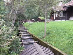
| + | {{GalleryItem | File:2010-08-14-60-10-R1060888.JPG | ...along wooden water viaducts like this one. (Although I am quite sure this is not the uphill track) }} | ||
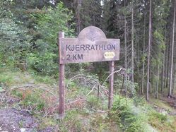
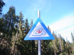
| + | {{GalleryItem | File:2010-08-14-60-10-R1060889.JPG | The steepness inspired people to organize the Kjerrathlon, up and down the hill. }} | ||
| + | {{GalleryItem | File:2010-08-14-60-10-R1060891.JPG | A roadblock! }} | ||
| + | {{GalleryItem | File:2010-08-14-60-10-R1060892.JPG | I bet they just want to collect the toll. }} | ||
| + | {{GalleryItem | File:2010-08-14-60-10-R1060893.JPG | Insert toll here, thankyouverymuch. }} | ||
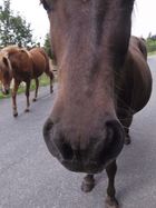
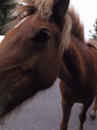
| + | {{GalleryItem | File:2010-08-14-60-10-R1060894.JPG | Close horses are hard to depict. }} | ||
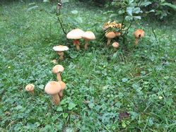
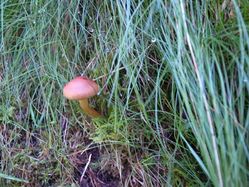
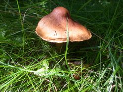
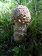
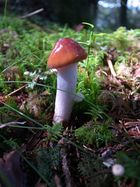
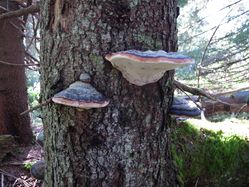
| + | {{GalleryItem | File:2010-08-14-60-10-R1060895.JPG | Mushroom season! I went on a photo safari! }} | ||
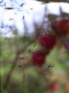
| + | {{GalleryItem | File:2010-08-14-60-10-R1060912.JPG | A grass stole the focus from my raspberries! }} | ||
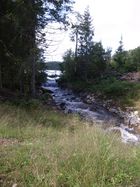
| + | {{GalleryItem | File:2010-08-14-60-10-R1060913.JPG | A lake taking a leak. }} | ||
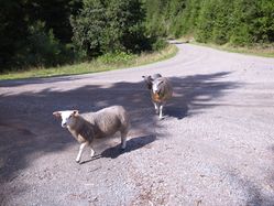
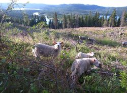
| + | {{GalleryItem | File:2010-08-14-60-10-R1060921.JPG | Geosheep are curious too. }} | ||
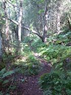
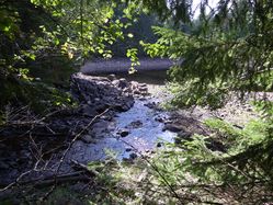
| + | {{GalleryItem | File:2010-08-14-60-10-R1060923.JPG | The path I went hiking along. }} | ||
| + | {{GalleryItem | File:2010-08-14-60-10-R1060924.JPG | I'll certainly take the opportunity to classify some of these sometime. }} | ||
| + | {{GalleryItem | File:2010-08-14-60-10-R1060925.JPG | But now and here they are only for their ...erm. Artistic merit, or something. }} | ||
| + | {{GalleryItem | File:2010-08-14-60-10-R1060941.JPG | ... }} | ||
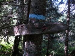
| + | {{GalleryItem | File:2010-08-14-60-10-R1060942.JPG | This helpful sign says "way" }} | ||
| + | {{GalleryItem | File:2010-08-14-60-10-R1060943.JPG | ... }} | ||
| + | {{GalleryItem | File:2010-08-14-60-10-R1060950.JPG | Fact: Sheep like to distract from their inherent boringness by lurking in scenic locations. }} | ||
| + | {{GalleryItem | File:2010-08-14-60-10-R1060951.JPG | ... }} | ||
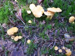
| + | {{GalleryItem | File:2010-08-14-60-10-R1060953.JPG | I found gold! (Chanterelles to be exact) }} | ||
| + | {{GalleryItem | File:2010-08-14-60-10-R1060958.JPG | ... }} | ||
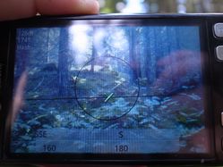
| + | {{GalleryItem | File:2010-08-14-60-10-R1060965.JPG | Stupidity distance 122m - X marks the spot. }} | ||
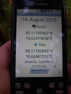
| + | {{GalleryItem | File:2010-08-14-60-10-R1060968.JPG | Coordinates reached! And for once the accuracy did not constantly try to underbid my proximity. In fact, I wasn't able to get it any lower. }} | ||
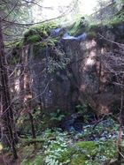
| + | {{GalleryItem | File:2010-08-14-60-10-R1060969.JPG | Prominent hash-feature: A vertical wall }} | ||
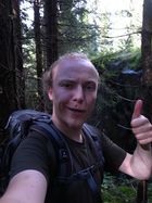
| + | {{GalleryItem | File:2010-08-14-60-10-R1060970.JPG | Prominent hash-move: A stupid grin. }} | ||
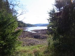
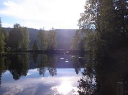
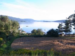
| + | {{GalleryItem | File:2010-08-14-60-10-R1060975.JPG | There sure are a lot of lakes in Norway... }} | ||
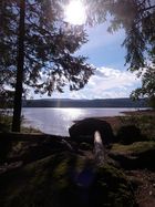
| + | {{GalleryItem | File:2010-08-14-60-10-R1060977.JPG | ..providing ample opportunities for scenic campfires. }} | ||
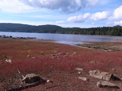
| + | {{GalleryItem | File:2010-08-14-60-10-R1060978.JPG | The Red Sea }} | ||
| + | {{GalleryItem | File:2010-08-14-60-10-R1060979.JPG | ... }} | ||
| + | {{GalleryItem | File:2010-08-14-60-10-R1060980.JPG | ... }} | ||
| + | {{GalleryItem | File:2010-08-14-60-10-R1060981.JPG | Whee! Looks like fun! If only I had my swimming trunks with me. }} | ||
| + | {{GalleryItem | File:2010-08-14-60-10-R1060982.JPG | ... }} | ||
| + | {{GalleryItem | File:2010-08-14-60-10-R1060990.JPG | Fact: Sheep like... yeah. }} | ||
| + | {{GalleryItem | File:2010-08-14-60-10-R1061000.JPG | Steinsfjorden }} | ||
| + | {{GalleryItem | File:2010-08-14-60-10-R1061001.JPG | Norderhov }} | ||
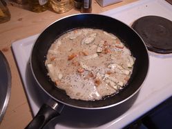
| + | {{GalleryItem | File:2010-08-14-60-10-R1061002.JPG | Crêpes chanterelle.. the final product looked a bit better, but it didn't last long enough for a photo. }} | ||
| + | {{GalleryItem | File:2010-08-14_60_10_tracknotlog.png | The path taken by yours truly. 27km of cycling and 4km of hiking - and back on a slightly different track. }} | ||
| + | |||
}} | }} | ||
| Line 28: | Line 80: | ||
{{#vardefine:ribbonwidth|800px}} | {{#vardefine:ribbonwidth|800px}} | ||
| − | [[ | + | {{Regional geohashing |
| − | + | | name = [[User:relet|relet]] | |
| + | | region = Oslo kommune, Norway | ||
| + | | count = 2 | ||
| + | }} | ||
[[Category:Expeditions]] | [[Category:Expeditions]] | ||
| − | |||
[[Category:Expeditions with photos]] | [[Category:Expeditions with photos]] | ||
| − | |||
| − | |||
| − | |||
[[Category:Coordinates reached]] | [[Category:Coordinates reached]] | ||
| − | + | {{location|NO|03}} | |
| − | |||
| − | |||
| − | |||
| − | |||
| − | |||
| − | |||
| − | |||
Latest revision as of 03:18, 9 August 2019
| Sat 14 Aug 2010 in 60,10: 60.1118306, 10.6247366 geohashing.info google osm bing/os kml crox |
Paikka
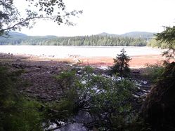
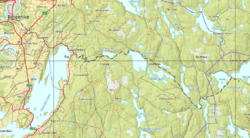
On the southern shore of Sandungen, in the Forest, Oslo kommune.
Today's battleship location is: G 2
Osallistujat
Suunnitelmat
Take all the necessary stuff and cycle. It'll be about 35km up the steepness that is Stubdalsveien, so I guess I'll take my time. But I hope to collect some of the immense amount of mushrooms that have sprouted during the recent rainfalls.
Tutkimusretki
- Power outage. I think that's the Internet's way of telling you to gtdo and go hashing. I'll just have to take care of the fridge first. -- relet @60,1568,10,2571 11:01, 14 August 2010 (MESZ)
- Indeed. Power came back the moment I left the house. It's an expedition! -- relet @60,1481,10,2510 11:21, 14 August 2010 (MESZ)
- Next 5km will be uphill. Oh joy! Last time, I gave up half way up. -- relet @60,1272,10,3624 11:51, 14 August 2010 (MESZ)
- Geo-horsey roadblock. Maybe some Omgponies too. But being equestr-ignorant, I couldn't tell them apart. -- relet @60,1236,10,3959 12:37, 14 August 2010 (MESZ)
- All that cycling must have been good for something. Enjoying the view on Storflatan with my breakfast sammich. -- relet @60,0903,10,4144 13:07, 14 August 2010 (MESZ)
- Second breakfast: Raspberries! Woo! -- relet @60,1169,10,5103 13:45, 14 August 2010 (MESZ)
- Ooh, coverage! Been hiking for the last 3km, then along a path that I would have called a creek, until that very muddy mountain biker shot past me. Coordinates reached, too! -- relet @60,1142,10,6185 16:49, 14 August 2010 (MESZ)
Valokuvia
|
Saavutukset
relet earned the Regional geohashing achievement
|
