Difference between revisions of "2008-05-26 53 9"
From Geohashing
imported>Hermann (New page: {{meetup graticule | map=<map lat="53" lon="9" date="2008-05-26" /> | lat=53 | lon=9 | date=2008-05-26 }} =People= ==Hash reached by Hermann== I hit the road right after ...) |
imported>FippeBot m (Location) |
||
| (9 intermediate revisions by 4 users not shown) | |||
| Line 5: | Line 5: | ||
| date=2008-05-26 | | date=2008-05-26 | ||
}} | }} | ||
| + | |||
| + | A junction in the village "Klevendeich". | ||
=People= | =People= | ||
| − | ==Hash reached by [[User:Hermann|Hermann]]== | + | ===Hash reached by [[User:Hermann|Hermann]]=== |
| − | I hit the road right after hours, at about 18:20, | + | I hit the road right after hours, at about 18:20, heading west. After 4.5 km I passed the [http://maps.google.com/maps?f=q&hl=de&geocode=&q=+53%C2%B034%2724.46%22N+++9%C2%B041%2756.75%22E&ie=UTF8&z=16&iwloc=addr Sun]. There actually is a model of our solar system in correct proportions. After 10.5 km I left [http://maps.google.com/maps?f=q&hl=de&geocode=&q=+53%C2%B035%2734.44%22N+9%C2%B038%2720.49%22E&ie=UTF8&ll=53.592931,9.639645&spn=0.004451,0.010042&t=h&z=17&iwloc=addr Pluto] behind me and cycled right into deep space. It was rather windy and the clouds in the sky looked like it was going to rain any second, but fortunately it didn't. I reached the spot at km 23.5, took photos (I am sitting right on the hash in the first one) at about 19:50 and asked my navigation device to take me back home. |
| − | [[Image:Hermann_Geohash_2008-05-26_53-9.jpg|thumb| | + | [[Image:Hermann_Geohash_2008-05-26_53-9.jpg|thumb|left|300px|[[User:Hermann|Hermann]] was there at 19:50.]][[Image:Hermann_Geohash_2008-05-26_53-9_Location2.jpg|thumb|left|300px|The geohash without Hermann, but with his bike.]][[Image:Wind_Turbine_in_Wedel,_Germany.gif|frame|center|It was a windy day.]] |
| + | [[Image:Hermann_Geohash_2008-05-26_53-9_Location1.jpg|thumb|center|169px|Proof of location]] | ||
| + | |||
| + | [[Category:Expeditions]] | ||
| + | [[Category:Expeditions with photos]] | ||
| + | [[Category:Coordinates reached]] | ||
| + | {{location|DE|SH|PI}} | ||
Latest revision as of 04:20, 7 August 2019
| Mon 26 May 2008 in 53,9: 53.6731281, 9.6073080 geohashing.info google osm bing/os kml crox |
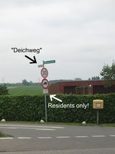
A junction in the village "Klevendeich".
People
Hash reached by Hermann
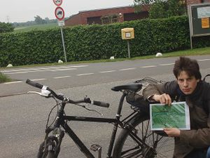
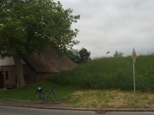
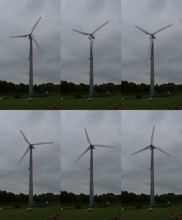
I hit the road right after hours, at about 18:20, heading west. After 4.5 km I passed the Sun. There actually is a model of our solar system in correct proportions. After 10.5 km I left Pluto behind me and cycled right into deep space. It was rather windy and the clouds in the sky looked like it was going to rain any second, but fortunately it didn't. I reached the spot at km 23.5, took photos (I am sitting right on the hash in the first one) at about 19:50 and asked my navigation device to take me back home.

Hermann was there at 19:50.


