Difference between revisions of "2008-05-27 42 -71"
imported>Noc |
imported>FippeBot m (Location) |
||
| (6 intermediate revisions by 3 users not shown) | |||
| Line 7: | Line 7: | ||
| − | |||
| + | ==About== | ||
| + | [http://maps.google.com/maps?q=42.209677N%2C%2071.101442W 42.209677N, 71.101442W] | ||
| + | |||
| + | This hash is located south of Milton in the [[Boston, Massachusetts]] graticule on the banks of a brook in the Blue Hills Reservation, just off I-93 exit 3. | ||
| + | |||
| + | ==Expeditions== | ||
| + | ===[[User:Loch|Loch]]=== | ||
A buddy alerted me to this site and I was off and running today. Nice location in the Blue Hills south of Boston. | A buddy alerted me to this site and I was off and running today. Nice location in the Blue Hills south of Boston. | ||
<BR><BR> | <BR><BR> | ||
| Line 16: | Line 22: | ||
I left my mark, an UPS:<BR> | I left my mark, an UPS:<BR> | ||
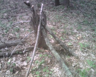
[[Image:20080527BostonUPS.jpg]] | [[Image:20080527BostonUPS.jpg]] | ||
| − | |||
| − | + | ===[[User:Noc|Noc]]=== | |
| − | |||
I, on the other hand, lacked access to a GPS device, so I had to guess. I also lacked access to a car, so I had to walk. I got off the Red Line at Quincy Adams at 3:25, and started walking. | I, on the other hand, lacked access to a GPS device, so I had to guess. I also lacked access to a car, so I had to walk. I got off the Red Line at Quincy Adams at 3:25, and started walking. | ||
<br><br> | <br><br> | ||
| Line 28: | Line 32: | ||
Here's the brook. I've a few other pictures of the area, but none of them came out very well; I was losing light pretty quickly by that time. | Here's the brook. I've a few other pictures of the area, but none of them came out very well; I was losing light pretty quickly by that time. | ||
<br><br> | <br><br> | ||
| − | I left no trace of myself behind. | + | I left no trace of myself behind. |
<br> | <br> | ||
<br> | <br> | ||
| − | Edit | + | <br>Edit: It's worth noting here that currently there is a 100% correlation between me Geohashing and me ending up soaking wet. Further study is needed before we can assess the possibility of weaponizing the phenomenon. |
| + | |||
| + | [[Category:Expeditions]] | ||
| + | [[Category:Expeditions with photos]] | ||
| + | [[Category:Coordinates reached]] | ||
| + | {{location|US|MA|NO}} | ||
Latest revision as of 04:21, 7 August 2019
| Tue 27 May 2008 in 42,-71: 42.2096776, -71.1014417 geohashing.info google osm bing/os kml crox |
Contents
About
This hash is located south of Milton in the Boston, Massachusetts graticule on the banks of a brook in the Blue Hills Reservation, just off I-93 exit 3.
Expeditions
Loch
A buddy alerted me to this site and I was off and running today. Nice location in the Blue Hills south of Boston.
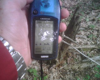
GPSr in hand at the location:

Noc
I, on the other hand, lacked access to a GPS device, so I had to guess. I also lacked access to a car, so I had to walk. I got off the Red Line at Quincy Adams at 3:25, and started walking.
Four hours, twenty minutes, and a rainstorm later, I found the spot by the Coon Hollow Brook that my best guess told me was the location, just as the sun was starting to dip below the horizon. Apparently it wasn't quite the right location, because I didn't run into Loch's little marker. But it was prettier, and was well within my "Close freaking enough" zone.

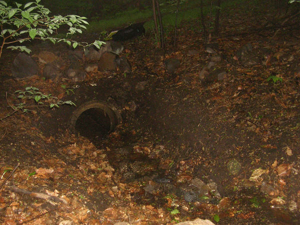
Here's the brook. I've a few other pictures of the area, but none of them came out very well; I was losing light pretty quickly by that time.
I left no trace of myself behind.
Edit: It's worth noting here that currently there is a 100% correlation between me Geohashing and me ending up soaking wet. Further study is needed before we can assess the possibility of weaponizing the phenomenon.
