Difference between revisions of "2015-03-07 51 9"
From Geohashing
imported>GeorgDerReisende (new expedition to Zierenberg) |
imported>FippeBot m (Location) |
||
| (2 intermediate revisions by one other user not shown) | |||
| Line 17: | Line 17: | ||
== Plans == | == Plans == | ||
| − | I will go to the Ehlener Kreuz by tram and by bus, then hitchhiking to Zierenberg, then walking up the hill. | + | I will go to the Ehlener Kreuz by tram and by bus, then hitchhiking to Zierenberg, then walking up the hill. Will be there for a xkcd-meetup. |
== Expedition == | == Expedition == | ||
| − | |||
| − | == | + | {| |
| − | + | |- | |
| − | + | ! style="width:300px" | !! style="width:300px" | !! style="width:300px" | | |
| − | + | |- | |
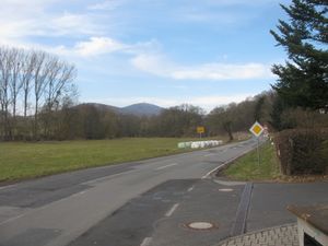
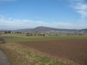
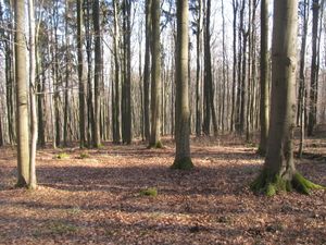
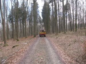
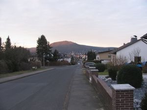
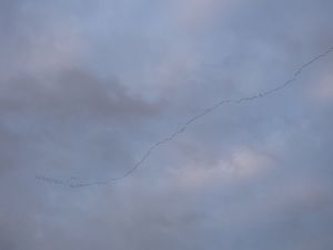
| − | + | | [[Image:2015-03-07 51 9 GeorgDerReisende 2628.jpg|300px]] || [[Image:2015-03-07 51 9 GeorgDerReisende 2634.jpg|300px]] || I started at home at 12:20. I took the tram 3 until the terminus Druseltal. The tram was four minutes late and missed the bus by two minutes, I should wait for 28 minutes. So I started there to hitchhike. After one minute a car stopped, and with two more cars I arrived at Zierenberg at 13:43. At the end of Ehlen I had a first view to the Großer Bärenberg. In English the name would be ''Greater Bear Mount'', but as greater or smaller Bear Mount, not Greater Bear or Smaller Bear mount. At the arrival at Zierenberg there was a blue sky, but no sun. | |
| − | Image: | + | |- |
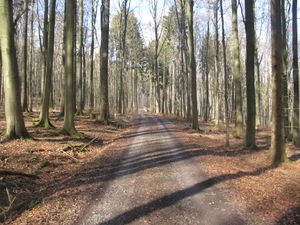
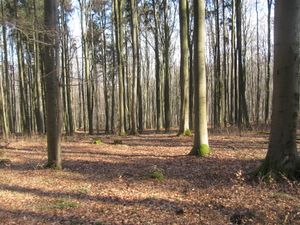
| − | -- | + | | [[Image:2015-03-07 51 9 GeorgDerReisende 2653.jpg|300px]] || [[Image:2015-03-07 51 9 GeorgDerReisende 2654.jpg|300px]] || Then I walked through the fields and up the mount to the hash. I arrived at the hash at 14:45. |
| − | + | |- | |
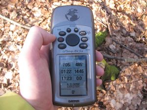
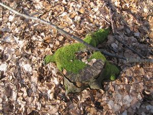
| − | + | | [[Image:2015-03-07 51 9 GeorgDerReisende 2657.jpg|300px]] || [[Image:2015-03-07 51 9 GeorgDerReisende 2658.jpg|300px]] || After a short dance I found the hash at a small stump between three trees. | |
| + | |- | ||
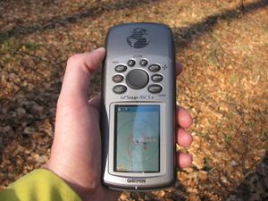
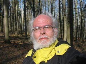
| + | | [[Image:2015-03-07 51 9 GeorgDerReisende 2659.jpg|300px]] || [[Image:2015-03-07 51 9 GeorgDerReisende 2664.jpg|300px]] || Proof of dance and proof of geohasher. | ||
| + | |- | ||
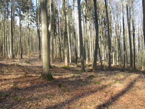
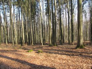
| + | | [[Image:2015-03-07 51 9 GeorgDerReisende 2660.jpg|300px]] || [[Image:2015-03-07 51 9 GeorgDerReisende 2661.jpg|300px]] || View to the south and view to the west. | ||
| + | |- | ||
| + | | [[Image:2015-03-07 51 9 GeorgDerReisende 2662.jpg|300px]] || [[Image:2015-03-07 51 9 GeorgDerReisende 2663.jpg|300px]] || View to the north and view to the east. | ||
| + | |- | ||
| + | | [[Image:2015-03-07 51 9 GeorgDerReisende 2666.jpg|300px]] || || I wrote a mark on a tree. | ||
| + | |- | ||
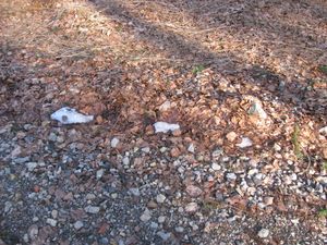
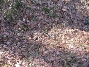
| + | | [[Image:2015-03-07 51 9 GeorgDerReisende 2667.jpg|300px]] || [[Image:2015-03-07 51 9 GeorgDerReisende 2672.jpg|300px]] || Neat the hash I found some snow, not enough for a snowman. And I found a can for rum, I took it away and got the deposit for it. | ||
| + | |- | ||
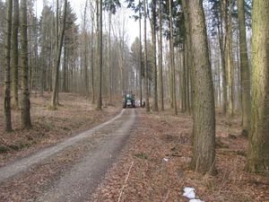
| + | | [[Image:2015-03-07 51 9 GeorgDerReisende 2673.jpg|300px]] || [[Image:2015-03-07 51 9 GeorgDerReisende 2674.jpg|300px]] || Then I waited for four o'clock. For other geohashers. While I waited a veloci-raptor approached and passed by at the hash. I think it took all the timber for nest building. | ||
| + | |- | ||
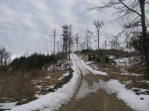
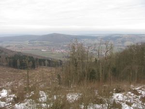
| + | | [[Image:2015-03-07 51 9 GeorgDerReisende 2694.jpg|300px]] || [[Image:2015-03-07 51 9 GeorgDerReisende 2697.jpg|300px]] || After 4 o'clock I walked on. I wanted to have a view from the tower on the mount. I walked and climbed and at the last 600 meters there was a lot of snow on the way and I became very tired. I couldn't resist against the strong wind, so I didn't walk on the top of the tower. The view at this time was not very good, and I got only one photo of Zierenberg. | ||
| + | |- | ||
| + | | [[Image:2015-03-07 51 9 GeorgDerReisende 2736.jpg|300px]] || [[Image:2015-03-07 51 9 GeorgDerReisende 2739.jpg|300px]] || Then I walked down to the valley. I took another way with less snow. Back in Zierenberg I saw flying geese and cranes on their journey to the north. | ||
| + | |} | ||
== Achievements == | == Achievements == | ||
| Line 36: | Line 52: | ||
<!-- Add any achievement ribbons you earned below, or remove this section --> | <!-- Add any achievement ribbons you earned below, or remove this section --> | ||
| + | {{Thumbs Up | latitude = 51 | longitude = 9 | date = 2015-03-07 | name = GeorgDerReisende }} | ||
| − | + | {{XKCD Centurion | count = 19 | name = GeorgDerReisende }} | |
| − | |||
| − | |||
| − | + | {{Geotrash | latitude = 51 | longitude = 9 | date = 2015-03-07 | name = GeorgDerReisende }} | |
| − | + | [[Category:Expeditions]] | |
| − | |||
| − | [[Category: | ||
| − | |||
| − | |||
| − | |||
| − | |||
[[Category:Expeditions with photos]] | [[Category:Expeditions with photos]] | ||
| − | + | ||
| − | |||
| − | |||
| − | |||
| − | |||
[[Category:Coordinates reached]] | [[Category:Coordinates reached]] | ||
| − | + | {{location|DE|HE|KS}} | |
| − | |||
| − | |||
| − | |||
| − | |||
| − | |||
| − | |||
| − | |||
| − | |||
| − | |||
| − | |||
| − | |||
| − | |||
| − | |||
| − | |||
| − | |||
| − | |||
| − | |||
Latest revision as of 02:57, 15 August 2019
| Sat 7 Mar 2015 in 51,9: 51.3495836, 9.2750481 geohashing.info google osm bing/os kml crox |
Location
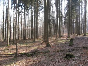
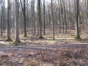
51.34958N 9.27504E: the hash lies on the Großer Bärenberg west of Zierenberg.
Participants
Plans
I will go to the Ehlener Kreuz by tram and by bus, then hitchhiking to Zierenberg, then walking up the hill. Will be there for a xkcd-meetup.
Expedition
Achievements
GeorgDerReisende earned the Thumbs Up Geohash Achievement
|
GeorgDerReisende earned the xkcd Decurion achievement
|
GeorgDerReisende earned the GeoTrash Geohash Achievement
|
