Difference between revisions of "2015-08-22 51 9"
From Geohashing
imported>GeorgDerReisende (expedition report for Uslar-Gierswalde) |
m (Correction) |
||
| (2 intermediate revisions by 2 users not shown) | |||
| Line 52: | Line 52: | ||
{{Geotrash | latitude = 51 | longitude = 9 | date = 2015-08-22 | name = GeorgDerReisende }} | {{Geotrash | latitude = 51 | longitude = 9 | date = 2015-08-22 | name = GeorgDerReisende }} | ||
| + | |||
| + | {{OpenStreetMap achievement | latitude = 51 | longitude = 9 | date = 2015-08-22 | OSMlink = 33544589 }} | ||
[[Category:Expeditions]] | [[Category:Expeditions]] | ||
| Line 58: | Line 60: | ||
[[Category:Coordinates reached]] | [[Category:Coordinates reached]] | ||
| + | {{location|DE|NI|NOM}} | ||
Latest revision as of 11:48, 21 March 2020
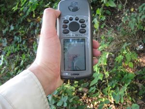
| Sat 22 Aug 2015 in 51,9: 51.6552329, 9.7231957 geohashing.info google osm bing/os kml crox |
Location
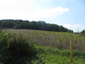
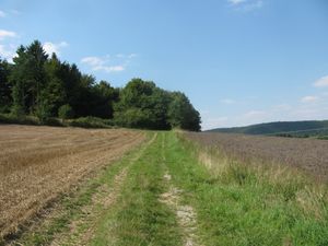
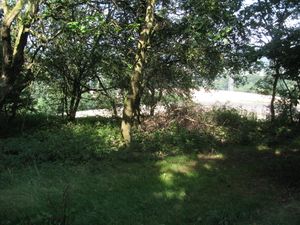
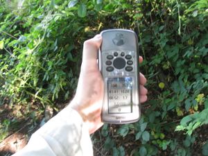
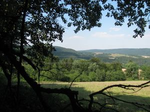
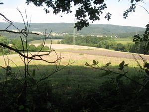
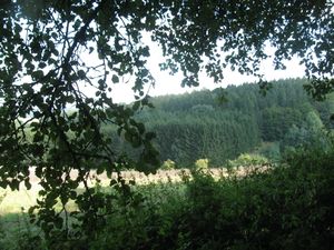
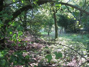
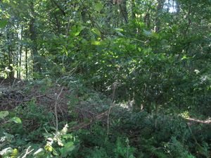
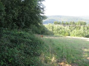
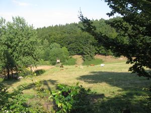
The hash lay on the edge of the forest and the field south of Gierswalde.
Participants
Plans
Hitchhiking and walking. Try to arrive at hash o'clock.
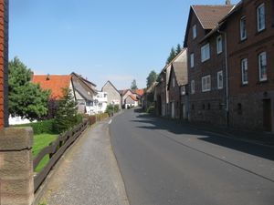
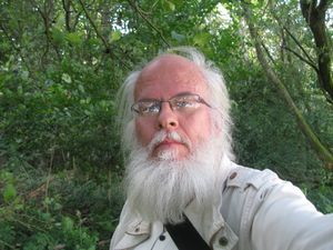
Expedition
Achievements
GeorgDerReisende earned the Thumbs Up Geohash Achievement
|
GeorgDerReisende earned the xkcd Viginturion achievement
|
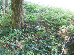
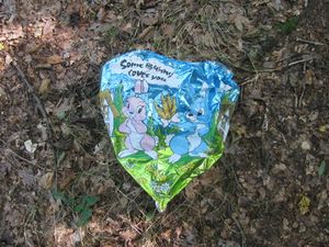
GeorgDerReisende earned the GeoTrash Geohash Achievement
|
This user earned the OpenStreetMap achievement
|
