Difference between revisions of "2008-07-31 52 13"
imported>Benjw m (fix gallery) |
imported>FippeBot m (Location) |
||
| Line 41: | Line 41: | ||
[[Category:Expeditions with photos]] | [[Category:Expeditions with photos]] | ||
[[Category:Coordinates reached]] | [[Category:Coordinates reached]] | ||
| + | {{location|DE|BE}} | ||
Latest revision as of 06:12, 7 August 2019
| Thu 31 Jul 2008 in 52,13: 52.5310836, 13.1443376 geohashing.info google osm bing/os kml crox |
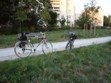
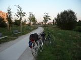
Phoenix and relet had actually planned to go for a cycle trip wherever tomorrow's hash would lead them. But, after discovering that today's hash was within the city borders, they preponed the trip to this wonderful sunny evening. The route to the hash led them almost exclusively through green spaces within the city, from the castle garden of Charlottenburg, along the river Spree, then along the former city walls of Spandau. That's also where the hash was located: on some grassy spot near the Bullengraben park area in Staaken.
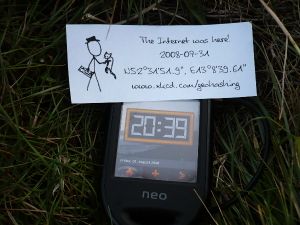
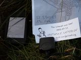
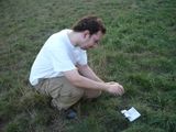
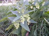
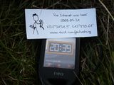
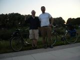
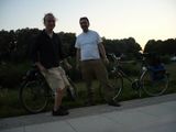
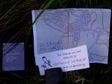
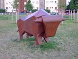
After happily discovering that the hash was neither located within someones backyard, nor in a field of not-nettles, they reached the spot some time after 8pm. They made photos, left a note saying "The Internet was here", sat down on a bench, ate some nuts, and chatted. No sign of other hashing activity was discovered. Hence, they cycled back. On the way back, they discovered some wildebeest, but made it safely home.
They both achieved the Cycle Geohash Achievement by cycling all the way. Phoenix, by successfully reaching his first hash point, achieved the land geohash award. They were both impressed by the beautiful setting which surrounded this hash.
Photographic evidence by relet
Further photographic evidence by Phoenix
Font used on the notes:
