Difference between revisions of "Barrhead, Alberta"
From Geohashing
imported>Meghan m |
imported>ReletBot m (mv as per Naming conventions) |
||
| Line 22: | Line 22: | ||
[[Category:Alberta]] | [[Category:Alberta]] | ||
| − | [[Category:Inactive | + | [[Category:Inactive graticules]] |
Revision as of 16:05, 4 April 2009
| Utikuma Lake | Slave Lake | Calling Lake |
| Whitecourt | Barrhead, Alberta | Athabasca |
| Wildwood | Onoway | Edmonton |
[[Category:Meetup in {{{lat}}} {{{lon}}}| ]]
Location
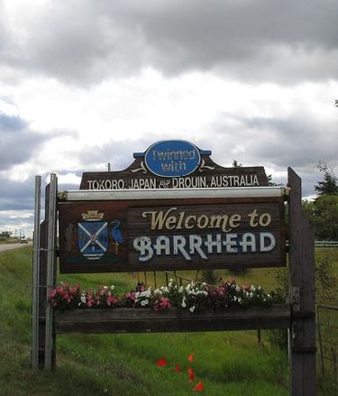
The Barrhead, Alberta graticule is just northwest of Edmonton at latitude 54, longitude -114. It includes the communities of Chisholm, Flatbush, Fawcett, Vega, Fort, Assiniboine, Tiger Lily, Bloomsbury, Neerlandia and Manola. The Athabaska River flows through the graticule from the southwest to the northeast. Southeast of the river, the graticule is mainly farmland and to the northwest it is mainly forest and wetlands.
Participants
No known local geohashers.
Notable Dates
- 2008-08-30 - Robyn inaugurated the graticule with an easy on-street geohash.
