Difference between revisions of "Vittangi, Sweden"
From Geohashing
imported>ReletBot m (Bot: Automated text replacement (-irc.peeron.com +carabiner.peeron.com)) |
imported>ReletBot m (Updated graticule template with information from All Graticules, using standard format.) |
||
| Line 3: | Line 3: | ||
| lat= 67 | | lat= 67 | ||
| lon= 21 | | lon= 21 | ||
| − | | nw = [[ | + | | nw = [[68,20]] |
| n = [[Soppero, Sweden|Soppero]] | | n = [[Soppero, Sweden|Soppero]] | ||
| ne = [[Karesuando, Sweden|Karesuando]] | | ne = [[Karesuando, Sweden|Karesuando]] | ||
| w = [[Kiruna, Sweden|Kiruna]] | | w = [[Kiruna, Sweden|Kiruna]] | ||
| name = [[Vittangi, Sweden|Vittangi]] | | name = [[Vittangi, Sweden|Vittangi]] | ||
| − | | e = [[ | + | | e = [[67,22]] |
| sw = [[Vuollerim, Sweden|Vuollerim]] | | sw = [[Vuollerim, Sweden|Vuollerim]] | ||
| s = [[Hakkas, Sweden|Hakkas]] | | s = [[Hakkas, Sweden|Hakkas]] | ||
| − | | se = [[ | + | | se = [[66,22]] |
}} | }} | ||
Revision as of 12:21, 8 April 2013
| 68,20 | Soppero | Karesuando |
| Kiruna | Vittangi | 67,22 |
| Vuollerim | Hakkas | 66,22 |
|
Today's location: geohashing.info google osm bing/os kml crox | ||
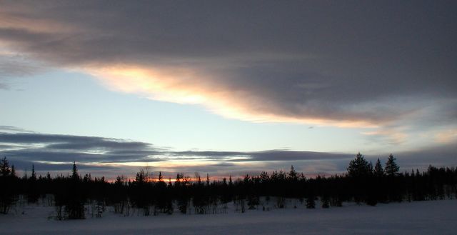
The Vittangi graticule is at latitude 67, longitude 21. It also includes Svappavaara and several other villages.
