Difference between revisions of "2009-01-31 36 -77"
imported>Ncbears m (→Achievements) |
imported>ReletBot m (renaming category as per Naming conventions) |
||
| Line 66: | Line 66: | ||
[[Category:Expeditions with photos]] | [[Category:Expeditions with photos]] | ||
[[Category:Coordinates reached]] | [[Category:Coordinates reached]] | ||
| − | [[Category:Xkcd- | + | [[Category:Xkcd-100 geohash achievement|XKCD Achievement]] |
| − | [[Category: | + | [[Category:Reverse regional achievement]] |
| − | [[Category: | + | [[Category:Multihash achievement]] |
Revision as of 11:40, 5 April 2009
| Sat 31 Jan 2009 in 36,-77: 36.9971020, -77.2379434 geohashing.info google osm bing/os kml crox |
Report
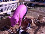
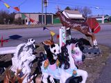
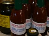
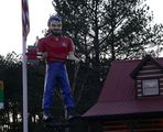
Breakfast helped nurse our nerves after a near disastrous sunrise hash, so we went to the cabin to cut down a dead red oak for firewood. After finishing off our ham sandwiches, we headed east through the beautiful Virginia countryside to our second hash. To our surprise, we stumbled across a delightful country store in Brodnax, filled with preserves, jams, honey and (wow!!) sorghum molasses, and decorated with colorful animal statues outside.
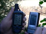
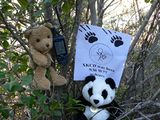
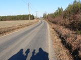
After spending entirely too much time (and money) in the store, we snapped a few pictures (to the puzzlement of the shop keep), then continued our trek. We arrived about 15 minutes early and parked the truck about 240 meters from the geohash. The hash was nice and quiet, and just inside the woods about 5 meters from the edge of the narrow country road. Not a single vehicle passed by the whole time we were there. We enjoyed the peaceful setting, took our typically silly pictures, then headed home about 1615.
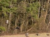
About 10 miles/16 km from the hash, we came to an intersection and noticed a rafter of turkeys in a field (seriously, a gang of turkeys is called a “rafter”). When I stepped out to take their picture, they began running and took flight. What an awesome sight.
Although the trip-ometer indicates the Geohash was 178 miles from our home, that mileage included our romp to the cabin. The return trip, the most direct route, was only 114 miles/183 km. But long enough to qualify for XKCD-100.
- We achieved the Reverse-Region for N36 W77, having geohashed in the State of North Carolina (2009-01-03_36_-77) and now in the State of Virginia.
Participants
Eisen & Bear - NCBears
Geological Features
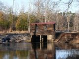
Flat farmland and forests. Geohash was located just inside woods, ~5m from edge of road.
Wildlife Encounters
Turkeys, Gray Squirrels
Farm animals – Cows, horses, sheep, dogs
Weather
Low 46.2°F/7.9°C, clear skies, wind 10mph/16kph
