Difference between revisions of "2016-08-22 51 9"

From Geohashing
imported>FippeBot
m (Location)
m (Location correction)
 
Line 54: Line 54:
  
 
[[Category:Coordinates reached]]
 
[[Category:Coordinates reached]]
{{location|DE|NW|HX}}
+
{{location|DE|NW|PB}}

Latest revision as of 20:33, 16 May 2020

Mon 22 Aug 2016 in 51,9:
51.5901346, 9.0140289
geohashing.info google osm bing/os kml crox


Location

The hash lay in the small part of the county Paderborn east of the 9° meridian.

Participants

GeorgDerReisende

Plans

Hitchhiking and walking.

Expedition

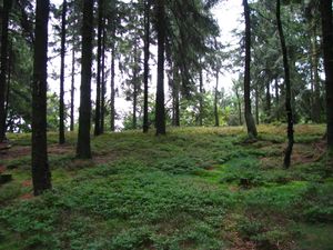
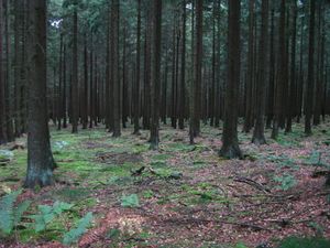
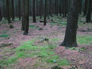
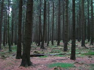
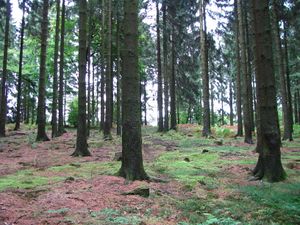
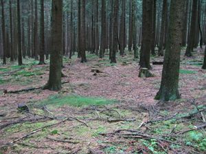
2016-08-22 51 9 GeorgDerReisende 2162.jpg 2016-08-22 51 9 GeorgDerReisende 2164.jpg I started in Kassel at 12:30, started to hitchhike at 13:00, after an half hour waiting I got the first lift. I noticed that I forgot the coordinates on my desk, but the driver helped me with his smartphone. With two other cars I arrived on the pass of the national road crossing the Eggegebirge. From there I walked along the forest way along the ridge of the mountains. Near the hash I saw the sky short behind the trees and I walked that way to have a look.
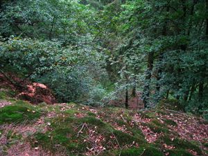
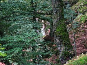
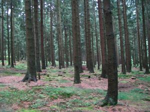
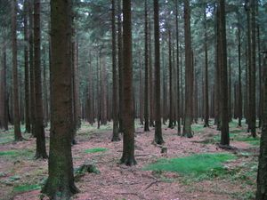
2016-08-22 51 9 GeorgDerReisende 2167.jpg 2016-08-22 51 9 GeorgDerReisende 2172.jpg And I found some cliffs going deep down. But good luck, the hash was not 45 meters east of the main way, but 45 meters west of it.
2016-08-22 51 9 GeorgDerReisende 2175.jpg 2016-08-22 51 9 GeorgDerReisende 2176.jpg I walked these 45 meters to the west.
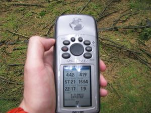
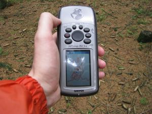
2016-08-22 51 9 GeorgDerReisende 2181.jpg 2016-08-22 51 9 GeorgDerReisende 2182.jpg I made a big dance. The point was wandering and I wandered all the way behind. But at least I got a 0 meter shot. And I looked around:
2016-08-22 51 9 GeorgDerReisende 2183.jpg to the north 2016-08-22 51 9 GeorgDerReisende 2184.jpg to the east 2016-08-22 51 9 GeorgDerReisende 2185.jpg to the south
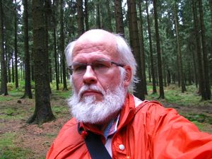
2016-08-22 51 9 GeorgDerReisende 2186.jpg to the west 2016-08-22 51 9 GeorgDerReisende 2187.jpg and another time to the hash area 2016-08-22 51 9 GeorgDerReisende 2188.jpg and to the geohasher.
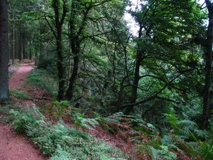
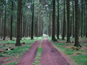
2016-08-22 51 9 GeorgDerReisende 2189.jpg This is the forest way along the ridge. The way itself and the trees on the right side belong to the Landkreis Höxter, the trees on the left side belong to the Landkreis Paderborn. I walked this way along and two other ways to Kleinenberg and with three cars I arrived back at Kassel.

Achievements

Thumbsup.png
GeorgDerReisende earned the Thumbs Up Geohash Achievement
by hitchhiking to the (51, 9) geohash on 2016-08-22, and withstanding the Vogon poetry of the driver.
Regionalhashingsimple.png
GeorgDerReisende earned the Regional geohashing achievement
by reaching a hash point in all 2 graticules belonging to county Paderborn.