Difference between revisions of "Vittangi, Sweden"
From Geohashing
imported>ReletBot m (Moved to Category:Inactive graticules according to Category:Meetup in 67 21. No expeditions were reported since 2009-04-30) |
imported>ReletBot m (Bot: Automated text replacement (-irc.peeron.com +carabiner.peeron.com)) |
||
| Line 16: | Line 16: | ||
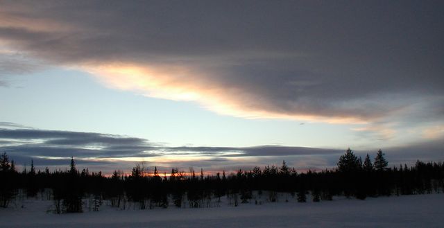
[[Image:2009-01-17 67 21 Sunset.jpg|640px]] | [[Image:2009-01-17 67 21 Sunset.jpg|640px]] | ||
| − | The [http://en.wikipedia.org/wiki/Vittangi Vittangi] [[graticule]] is at [http:// | + | The [http://en.wikipedia.org/wiki/Vittangi Vittangi] [[graticule]] is at [http://carabiner.peeron.com/xkcd/map/map.html?lat=67&long=21&abs=1 latitude 67, longitude 21]. It also includes [http://en.wikipedia.org/wiki/Svappavaara Svappavaara] and several other villages. |
== Expeditions == | == Expeditions == | ||
Revision as of 21:23, 7 March 2012
| Råstojaure | Soppero | Karesuando |
| Kiruna | Vittangi | Tärendö |
| Vuollerim | Hakkas | Överkalix |
|
Today's location: geohashing.info google osm bing/os kml crox | ||
The Vittangi graticule is at latitude 67, longitude 21. It also includes Svappavaara and several other villages.
